


40
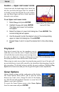
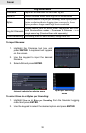
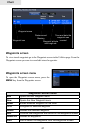
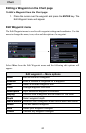
Chart
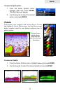
Chart Options
Orientation Controls the way the Chart page moves in relation to your
movement. (North Up, Heading Up and Course Up)
Chart detail Controls level of map detail (Full, Medium, Low)
Look ahead Shows more of the map area in front of you
Categories Opens chart categories display settings list
Imagery Toggles 2D and Shaded Relief map display settings (only
available on select US models)
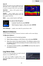
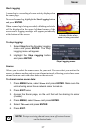
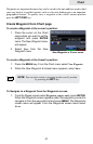
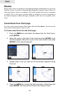
Go To Cursor
The Go To Cursor command is a quick and easy way to navigate to anything you
see on the Chart page.
To go to cursor:
1. Move the cursor over the desired location.
2. Press MENU, select Goto and press ENTER.
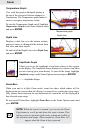
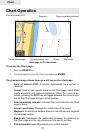
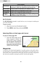
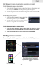
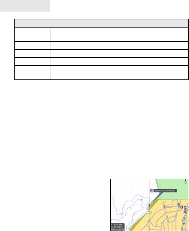
Selecting POIs on Chart page with Cursor
To select a Chart page POI:
1. From the Chart page use the
Arrow keypad to center the
cursor over a POI. A pop-up
box will appear describing the
POI. The POI's coordinates are
displayed in the lower left hand
corner of the Chart page.
Waypoints
A waypoint is the latitude and longitude of a specic position on the earth's surface.
You can quickly create a waypoint at your current position or you can create a way-
point at the cursor's position on the Chart page. You also can create a waypoint at
any location by manually entering the position's latitude and longitude.