


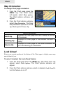
50
Chart
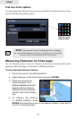
Trails
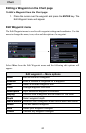
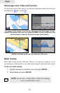
A trail is a record of the path you have traveled. Trails not only show you where you
have been, they can be used to retrace your path back to your starting point. On the
Chart page a trail is presented by a solid line extending from the back of the current
position icon.
From the factory, the unit is automatically set to create and record a trail when the
unit is turned on and you are navigating. The unit will continue to record a trail until
the trail length reaches the maximum trail point setting.
When the unit reaches the maximum trail point number it will automatically begin
recording the trail over itself. By default, the unit places a dot (trail point) on the
Chart page every time you change course.
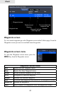
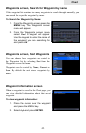
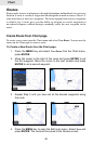
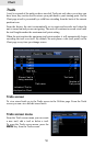
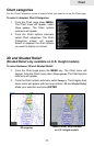
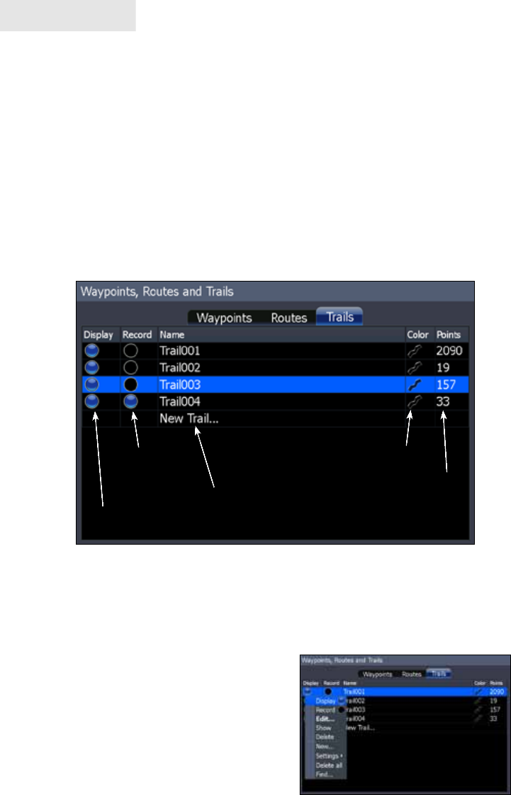
Trails screen
To view stored trails go to the Trails screen in the Utilities page. From the Trails
screen you can view and edit stored trails.
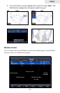
Trails screen menu
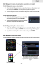
From the Trails screen menu you can create
a new trail, edit a trail or delete a trail.
To open the Trails screen menu, press the
MENU key from the Trails screen.
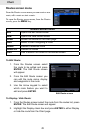
Indicates if Trail is
displayed on Chart
Trail name
Trail color
Number of
Trail points
Shows if trail is
being recorded