


58
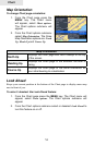
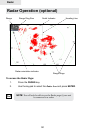
Chart
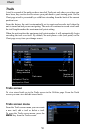
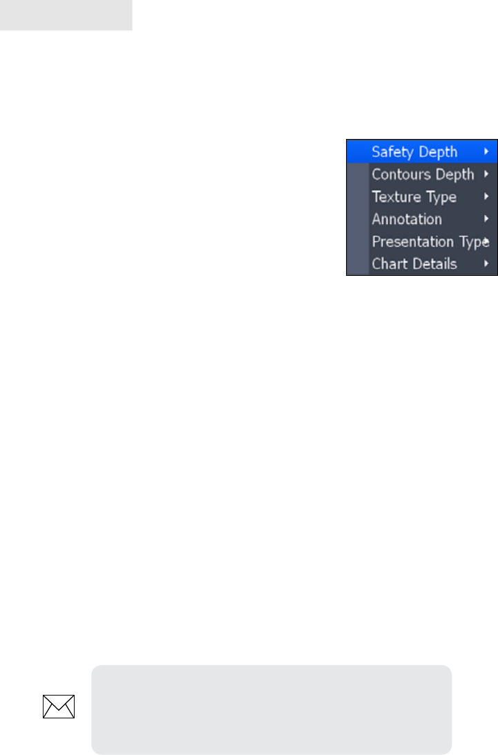
Navionics Settings menu
Use to customize the way Navionics data will be displayed on the Chart page, allow-
ing you to adjust the features best suited for your shing conditions.
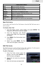
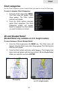
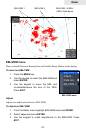
To change Navionics Settings:
1. Select Chart options from the Chart menu
and press ENTER.
2. Highlight Settings and press ENTER.
3. Select a setting and press ENTER.
4. Highlight the desired option and press
ENTER.
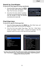
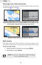
Navionics Settings and Options
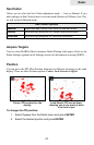
• Safety Depth — Allows you to display the depth areas corresponding to the
safety contour desired. Available options are:
Off: No depth area displayed.
Other numeric depth values: The areas with depths up to value selected
are displayed in shades going from darker blue (for lower depths) to light-
er blue (for higher depths). The areas whose depths are over the selected
value, and therefore navigable under safety conditions, will be displayed in
white. The dryline areas are displayed in green.
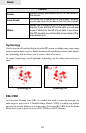
• Contours Depth — Used to select the display of depth contours.
Available options:
-5m: display depth contours up to 5 meters (16 feet)
-10m: display depth contours up to 10 meters (33 feet)
-20m: display depth contours up to 20 meters (66 feet)
-All: all depth contours are displayed
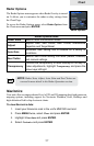
Navionics Settings
NOTE: When Night mode is selected, depth areas are
displayed from lighter blue (for lower depths) to darker
blue (for higher depths). Depth areas over the value set are
displayed in black.