


GPS Chart Plotters Page 41
5. C-MAP MAX OVERVIEW
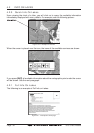
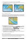
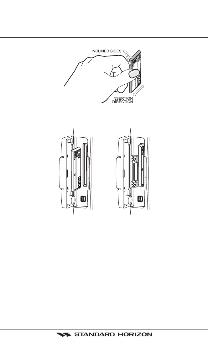
5.0 INSERTING THE C-CARD
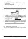
Hold the C-CARD by the long inclined side so that you can see the C-MAP label.
Figure 5.0 - Inserting C-CARD
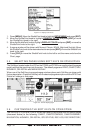
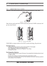
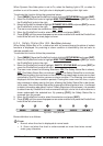
Open the door, gently push the C-CARD into the slot: push the C-CARD in as far as it will
go, then close the door.
Figure 5.0a - Inserting C-CARD (Details)
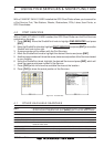
C-MAP MAX is a major evolution of the NT/NT
+
product technology. Key points are:
New Data Features
· Tides and Currents (intuitive arrows show direction and strength)
· World Background Charts with terrestrial data
· Value Added Data (Pictures and Diagrams, Land Data)
· Enhanced Port Info
New Presentation Features
· Clear Info (sophisticated "Human Dictionary" to translate Nav-Aid abbreviations found
on paper charts)
· Dynamic Nav-Aids (an innovative and dynamic presentation mode)
· Flexi-Zoom (increased Under and Over Zoom between chart levels, resulting in optimal
scale display for any situation)