


40
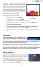
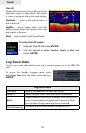
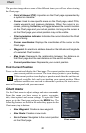
Chart
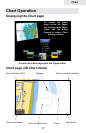
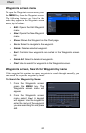
The previous image shows some of the different items you will see when viewing
the Chart page:
• Point of Interest (POI): A position on the Chart page represented by
a symbol or character.
Cursor: • Used to view specic areas on the Chart page, select POIs,
create waypoints and measure distances. When the cursor is on-
screen, pressing the Exit key will toggle between the cursor's location
on the Chart page and your actual position. As long as the cursor is
on the Chart page your actual position may not be visible.
• Chart orientation indicator: Indicates the current direction the Chart
page is facing.
• Cursor coordinates: Displays the coordinates of the cursor on the
Chart page.
Waypoint: • An electronic address based on the latitude and longitude
of a selected Chart location.
• Map Scale: Represents the relationship between the distance on
the Chart page and the real distance on the earth's surface.
Current position icon:• Represents your current position.
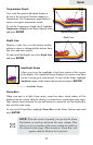
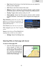
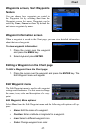
Find Current Position
Power on the unit and display the Chart page. The current position icon represents
your current position on screen. The icon always points to your heading.
If the current position icon displays a question mark then the unit has not
achieved a satellite lock and is not tracking your current position. When
sufcient satellites are received to determine a position, the icon's move-
ment will correspond with your movement.
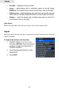
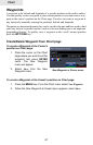
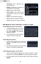
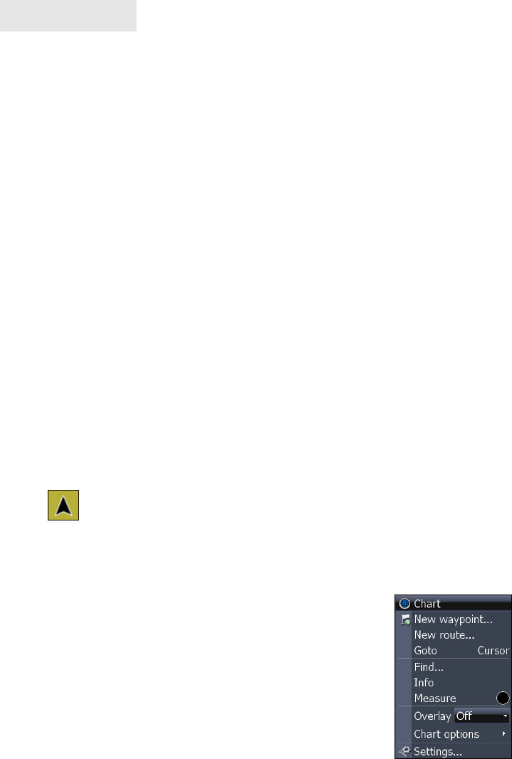
Chart menu
Use the Chart menu to adjust settings and enter commands.
From this menu you have access to routes, waypoints,
info, chart options and screen settings. To open the Chart
menu, go to the Chart page and press the MENU key. The
following features are listed in the order they appear on the
Chart menu, top to bottom:
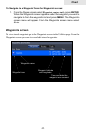
New Waypoint:• Creates a new waypoint.
New Route: • Creates a new route.
Go to Cursor: • Navigates to the cursor position
on the Chart page.
Chart menu