


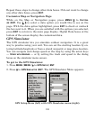
132
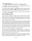
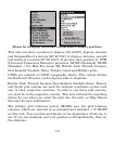
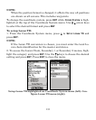
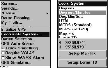
Menus for changing coordinate system used to display positions.
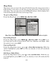
This unit can show a position in degrees (36.14952°); degrees, minutes
and thousandths of a minute (36° 28.700'); or degrees, minutes, seconds
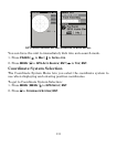
and tenths of a second (36° 28' 40.9"). It can also show position in: UTM
(Universal Transverse Mercator) projection; MGRS (Standard); MGRS
(Standard + 10); Map Fix; Loran TD; British, Irish, Finnish, German,
New Zealand, Swedish, Swiss, Taiwan, Greek and Military grids.
UTM's are marked on USGS topographic charts. This system divides
the Earth into 60 zones, each 6 degrees wide in longitude.
British, Irish, Finnish, German, New Zealand, Swedish, Swiss, Taiwan,
and Greek grid systems are each the national coordinate system use
d
only in their respective countries.
In order to use these grid systems,
you must be in the respective country. This
unit will pick the matchin
g
datum for you when you select the grid. See the entry on Map Datum
Selection for more information.
The military grid reference system (MGRS) uses two grid letterin
g
schemes, which are referred to as standard and standard + 10 MGRS
on this unit. Your position and datum in use determines which one to
use. If you use standard, and your position is off significantly, then tr
y
the alternate.