


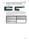
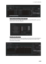
6. CHART OVERVIEW
6-21
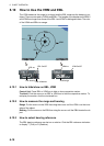
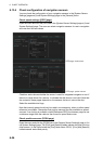
6.12 Datum
6.12.1 General
Datum is a mathematical model of the earth based on which a sea chart is produced.
If the datum of a position sensor and that of a sea chart are different, a transformation
has to be made somewhere in the system. Not doing so can result in errors of several
sea miles. The difference between two datum is never constant, but depends on po-
sition. This means that the difference between WGS-84 and local datum, generally
used in paper charts, is not generally valid with electronic sea charts.
6.12.2 Paper charts
Datum used in paper charts have been traditionally national datum for historical rea-
sons. Many paper charts do not have a marked datum, therefore compatibility with
electronic charts may be complicated. In some paper charts, the correction terms are
printed in lieu of datum, for correction of the WGS-84 system satellite locations. The
correction terms are usable but only with the paper chart in question.
6.12.3 Electronic sea charts
The ENC vector material has to be produced by a National Hydrographic Office in the
WGS-84 datum.
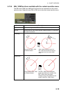
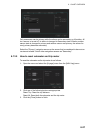
6.12.4 Positioning devices and datum
In early days of electronic positioning devices, datum received little attention because
the commonly used systems utilized special charts (like Decca charts). Later on, data
output was added to these systems, but still no attention was paid to datum and the
position errors were considered as an inaccuracy of the system. With the spread of
the GPS, however, datum has become better known. An accurate position is of no val-
ue if co-ordinates are in a wrong datum. GPS satellites utilize the WGS-84 datum.
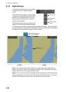
6.12.5 Chart radar and datum
The chart radar uses ENC material, produced to standards using WGS-84 datum. Po-
sitioning devices connected to the chart radar must work in the WGS-84 datum. IMO
requires that the chart must give an alert if the datum of a positioning device is not the
WGS-84.