


10. How to Plan Routes
10-7
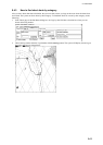
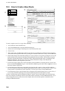
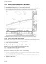
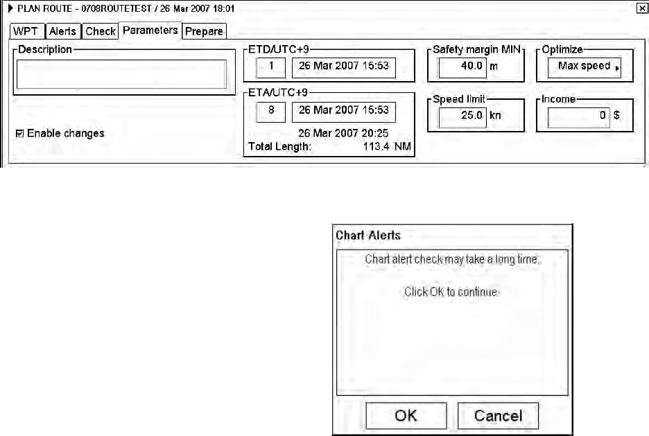
10.3.3 How to use the Check page
The Check page allows you to make safe water calculation for your route. You also store the names of the user chart
and Notes to use during route monitoring together with planned route on this page. This storage happens when you
activate the safe water calculation by pushing the Start button. The stored names are the names of the planned user
chart and planned Notes.
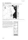
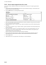
The time used for the Chart Alert check is subject to
chart data base and route distance. When the Start
button is clicked, one of the dialog boxes shown right
appears as a reminder. To continue, click the OK button.
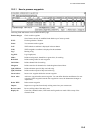
If selected scale for displayed chart(s) is smaller than
1:5000 000, Chart Alert calculation is not performed. In
this case use scale range 1:1 000 – 1: 500 00 .
Note 1: In order to display charts with correct updated
situation, always use current date during your voyage. If
your voyage lasts more than one week, set current date
at least once per week during your voyage.
Note 2: In order to display charts with correct updated
situation during route planning, always use planned date
of each waypoint to check your plan.