


3. PLOTTER OPERATION
3-46
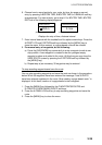
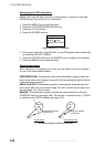
Selecting an external waypoint
You can select a waypoint (or route) entered at an external plotter connected
with NMEA cable. This function requires the RMB data sentence.
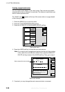
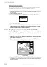
1. Press the [MENU] key, B:PLOTTER SETUP soft key to show the PLOTTER
SETUP menu.
2. Use the trackball to select QP.
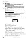
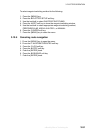
3. Press the C:ENTER soft key or [ENTER] knob to show the QP window.
QP
EXT WPT (RMB)
INTERNAL
QP window
4. Select EXT WPT (RMB).
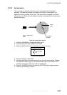
5. On a connected external plotter, set a waypoint (or route) as the destination.
Selected waypoint (route) appears on the NavNet plotter screen. (on radar
screen, a lollipop appears to show the waypoint.)
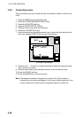
3.10.3 Navigating to ports, port services (NavCharts™/C-MAP)
NavCharts™/C-MAP have a port service list which shows services available at
ports or harbors. (See page 3-13.) You can use the list to set your destination as
follows:
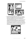
1. Select “35 PTS/PORT SVC” following the procedure in “Selecting quick point
entry method” on page 3-44.
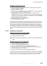
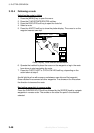
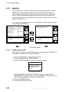
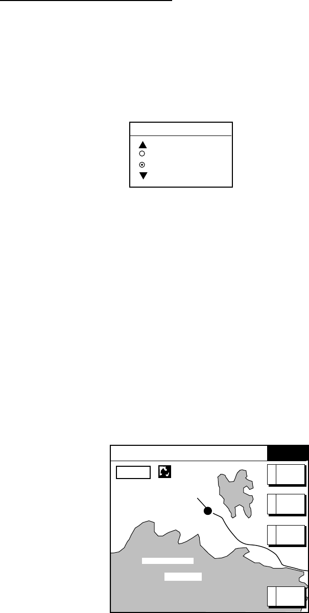
2. Place the cursor on the location desired, then press the D:GOTO soft key.
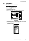
Soft key titles change as in the figure below.
FROM
OS
0.26 nm
180.2°M
PUNTA CORNACCHIA
ACCO AMENO
I. ISCHIA
CASAMICCIOLA
ISCHIA
PORTO
40°45.971'N
13°57.462'E
+
GOTO
16.0nm
*NavCharts only
TM
QUICK
ROUTE
A
NEAR
SRVC
B
CANCEL
GOTO
E
PORT*C
Plotter display
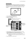
3. Press the C:PORT (NavCharts™ only) or B:NEAR SRVC soft key depending
on objective. PORT shows a list of ports in your area. NEAR SRVC displays
the port service list.
offered by Busse-Yachtshop.de