


Revision 1.4.16a Page 203
®®
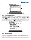
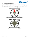
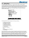
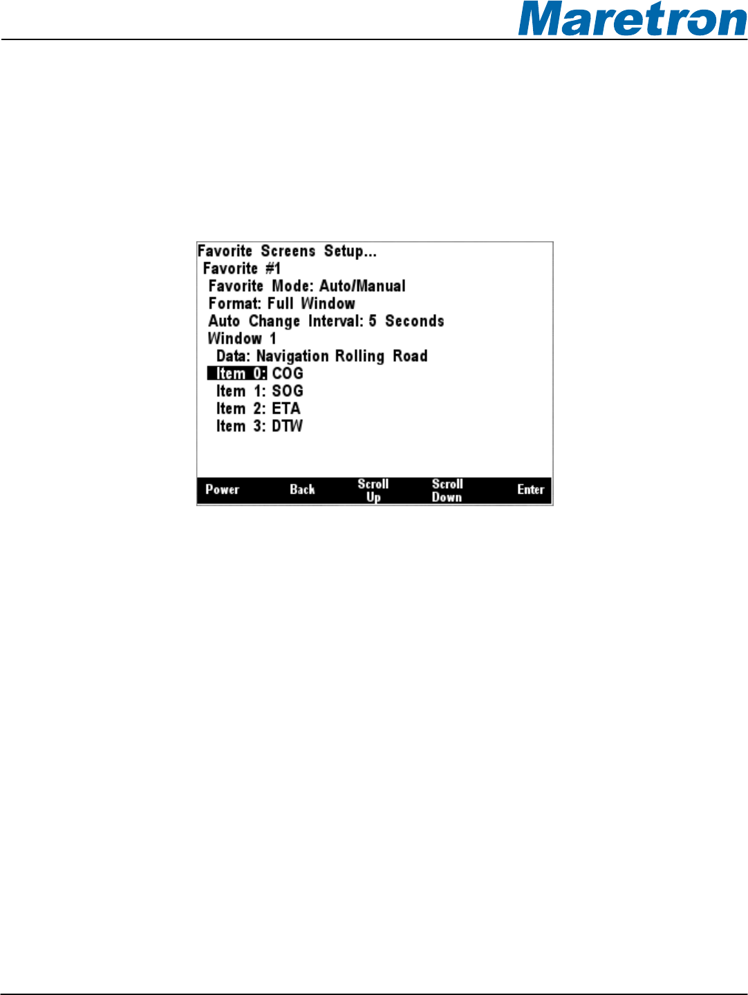
7.6 Rolling Road
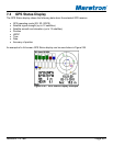
The DSM250 supports a “Rolling Road”, or navigation highway display. This display repeats
transmitted navigation data from a primary navigator, such as a chart plotter or a personal computer
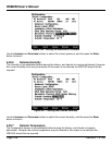
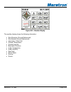
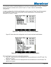
running navigation software. Figure 240 below shows the favorites screen setup menu with the rolling
road selected. When the rolling road is selected the displayed navigation data, the “Type:” submenu
changes to four “Item:” submenus. The rolling road display can show numerical displays of four
navigation-related data items in addition to the graphical display of boat position and progress
towards the desired waypoint.
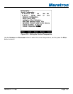
Figure 240 – Configuration of Rolling Road Display
The following data items may be displayed on the rolling road display:
• COG (Course Over Ground)
• SOG (Speed Over Ground)
• BTW (Bearing to Waypoint)
• DTW (Distance to Waypoint)
• VMG (Velocity Made Good)
• ETA (Estimated Time of Arrival)
• TTG (Time to Go)
• XTE (Cross Track Error)
• Set
• Drift
• BOD (Bearing, Origin to Destination)
• HDG (Heading)
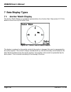
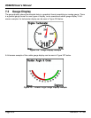
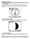
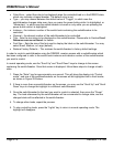
Figure 241 below shows a rolling road display. The navigation parameters that have been selected
are COG, SOG, ETA, and TTG. On the navigation highway itself, the waypoint name, if available, is
displayed on the upper left and the waypoint number, if available, is displayed on the upper right. The
dashed vertical line along the center of the highway represents the current leg of the route. The
distance of the boat to the left or the right of the line represents the XTE (Cross Track Error). The
angle of the boat relative to the vertical line represents the difference between the boat’s COG
(Course Over Ground) and the BTW (Bearing to Waypoint). The scale of the XTE display can be