3-24 Raynav 300 GPS Plotter
Creating a New Route
Note: If there is a current route, it is cleared when MAKE ROUTE is select-
ed. If following the current route you are prompted to STOP FOLLOW.
Press the YES soft key to continue, or NO to abandon route creation. If the
route has not been saved you are prompted to save it.
Routes can be created by either or both:
• Using the Route Building Table to select existing waypoints; this
assumes that a number of waypoints already exist.
• Placing new waypoints on the screen using the cursor.
After a route has been created, it can be edited as described in Editing a
Route on page 3-33.
➤ To make a new route using the Route Building Table:
Note: In the following, it is assumed that the user is starting from a data
page display with the default soft keys shown (Figure 3-27).
Figure 3-27: Default Soft Keys (Typical)
1. Press the ROUTE soft key; the Route soft keys are displayed
(Figure 3-28).
Figure 3-28: Route Soft Keys
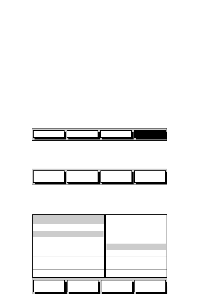
2. Press the MAKE ROUTE soft key; the two column Route Building
Table is displayed with its associated soft keys (Figure 3-29).
Figure 3-29: Route Building Table
GOTO GPS DATAROUTE WPT DATA
D4921-1
MAKE
ROUTE
EDIT
ROUTE
SAVE
ROUTE
ROUTE
LIST
D4983-1
INSERT
WAYPOINT
REMOVE
WAYPOINT
ACCEPT
ROUTE
REVERSE
ROUTE
WAYPOINTS
50°50^000N
001°06^000W
COWES
GURNARD LEDGE
MAIN CHANNEL
NEEDLES FAIRWAY
PORT SOLENT
348°m 2.30nm
50°52^230N
001°02^390W
300°m 1.00nm
01 HARBOUR
02 MAIN CHANNEL
03 COWES
04 LYMINGTON
NEW ROUTE
D4985-2


