


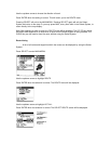
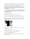
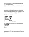
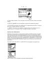
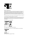
8. Channel Status Indicators- This is the status of the receiver channels. A black box indicates
tracking.
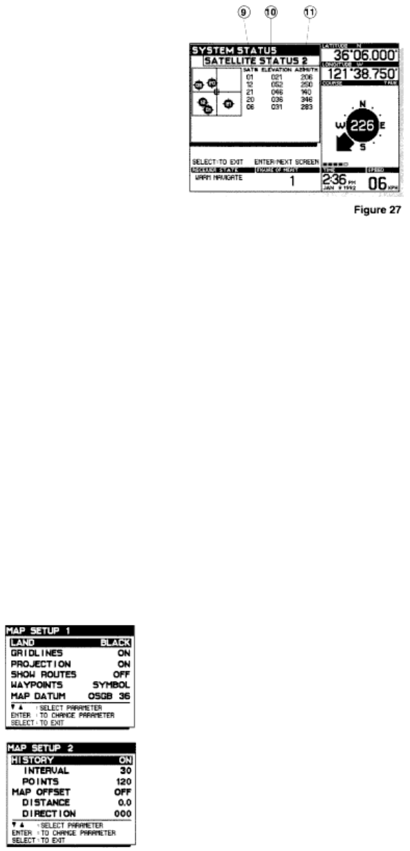
9. SATELLITE NUMBER-This is the identification number of the satellite being tracked.
10. ELEVATION-The elevation of the satellite given is in degrees above the horizon. 0° being on
the horizon. A graphic description is also shown.
11. AZIMUTH- The azimuth of the satellite is in degrees relative to the compass rose. 0° is
magnetic north, 90°, for example, is East. The graphic illustration is also shown.
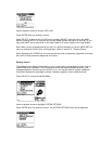
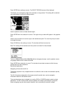
Additional User Set-Up Options
Additional user setup options can be accessed by pressing the MAP key while in the graphic
area. Because these menus are adjusted frequently they may be accessed directly, without
entering the Select System. Once the MAP SETUP menu has been prompted adjustments are
made with the same keys that are used in the Select System. (See section III. Using the Select
System.) There are two map setup menus: MAP SETUP 1 and MAP SETUP 2. If you are not in
the graphic area pressing MAP will display the graphic area and allow you to access the map
setup menus.
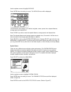
Press MAP until the MAP SETUP 1 or MAP SETUP 2 menu appears in the graphic area.
Use the up/down arrows to highlight the parameter needing adjustment.