


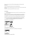
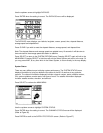
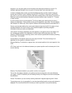
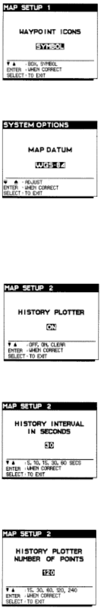
Use the up/down arrows to display waypoint icons as a SYMBOL or a BOX.
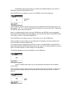
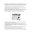
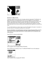
Use the up/down arrows to adjust the setting: WGS 84 (default setting), RT 90, OSGB 36, NAD
27 NXGD 49, ED 50, AGD 84.
Note: When entering a waypoint from a chart or listing, ensure that the NS 10 is set to the same
map datum.
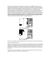
Use the up/down arrows to select your setting preference then press ENTER.
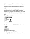
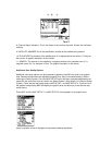
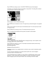
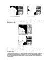
Use the up/down arrows to select the interval that your history points are plotted. For example, if
you select 10, a point will be displayed every 10 seconds.
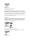
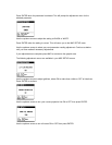
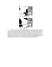
Use the up/down arrows to select the maximum number of points you wish to display. For
example, if you select 60 the graphic area will display a maximum of 60 points at a time.