


Page 27CPV550
3. C-MAP MAX OVERVIEW
3.0 INTRODUCTION
C-MAP MAX is a major evolution of the NT/NT
+
product technology. Key points are:
New Data Features
· Tides and Currents (intuitive arrows show direction and strength)
· World Background Charts with terrestrial data
· Value Added Data (Pictures and Diagrams, Land Data)
· Enhanced Port Info
New Presentation Features
· Clear Info (sophisticated "Human Dictionary" to translate Nav-Aid abbreviations found
on paper charts)
· Dynamic Nav-Aids (an innovative and dynamic presentation mode)
· Flexi-Zoom (increased Under and Over Zoom between chart levels, resulting in optimal
scale display for any situation)
· Dynamic Elevation Data (optimized palettes for GPS Chart Plotters; includes new
NOAA palette)
· Perspective View ("Real World" perspective view of the chart, updated real-time during
navigation)
MAX and NT/NT
+
C-CARD coexistence
· When NT
+
data and MAX data cover different areas, the GPS Chart Plotter gets data
from both charts (depending on the current position).
· When NT
+
data and MAX data cover the same area, the GPS Chart Plotter gets data
only from MAX chart.
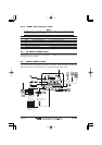
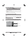
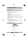
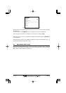
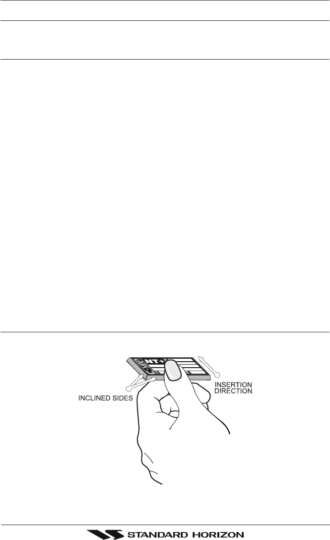
3.1 INSERTING THE C-CARD
Hold the C-CARD by the long inclined side so that you can see the C-MAP label.
Figure 3.1 - Inserting C-CARD <NEW C-CARD>