


Page 58 CPV550
11. TRACKS
The GPS Chart Plotter has the capability to store 5 individual and record up to 3000 Track
Points.
Before using the Track function you will need to setup the Track function that suits your boat.
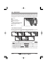
The Track function tracks your vessels location as it moves through the water. The Track
function can be setup to lay down a Track for a predetermined time or distance interval. If
you have a fast moving boat you may want to setup the GPS Chart Plotter to record a Track
point every 0.5 NM or if you have a sail boat you may want to setup to lay down a Track point
once ever 1 minute.
NOTE
Please note the Track point memory is 3000 points. This means for a long journey you may have
to adjust the time or distance to be able to track your journey. It should be noted when the 3000 Track
points are used up the first Track point layed down will be deleted when a new point is placed on
the chart.
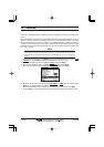
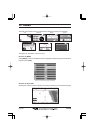
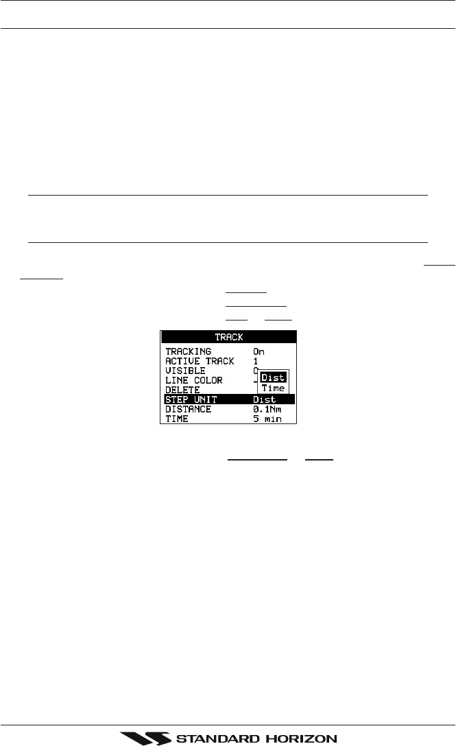
1. Select the chart page and press [MENU]. Move the ShuttlePoint knob to highlight USER
POINTS and press [ENT] or move the ShuttlePoint knob to the right.
2. Move the ShuttlePoint knob to highlight
TRACK and press [ENT].
3. Move the ShuttlePoint knob to highlight
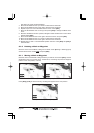
STEP UNIT and press [ENT].
4. Move the ShuttlePoint knob to highlight
Dist or Time and press [ENT].
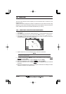
Figure 11 - Distance Units and Time Units
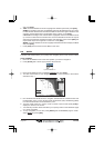
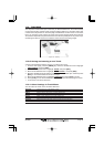
5. Move the ShuttlePoint knob to highlight DISTANCE or TIME step interval and press
[ENT] or move the ShuttlePoint knob to the right.
6. Move the ShuttlePoint knob up/down to the desired step value and press [ENT].
7. Press [CLR] or move the ShuttlePoint knob to the left until the Chart page is shown.