


Page 33CPV550
5. DATA FEATURES
This chapter contains the new features related to the MAX map data files (i.e.: cartography
and related data).
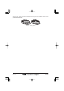
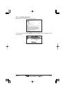
5.0 PICTURES & DIAGRAMS
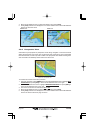
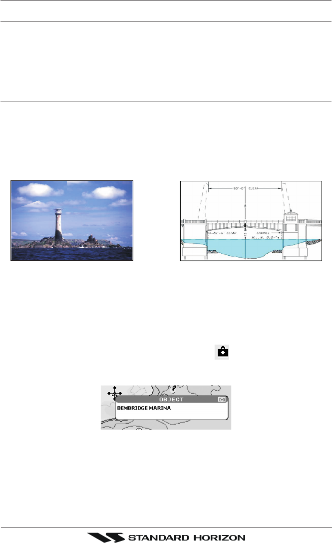
Using C-Map MAX data cards allows you to show pictures or diagrams on the chart plotter
display. These Pictures are typically used to facilitate the identification of cartographic
objects or places around the map: they can be the landscape layout nearby a harbor, the
shape of a bridge or of a buoy etc.
On some objects, such as bridges, the image associated can represent the Diagram
representing the shape of the objects and the various characteristics (length, height, type
of bridge etc.).
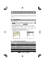
Figure 5.0 - Pictures and Diagrams
The pictures or diagrams can be a MULTIMEDIA OBJECT or they can be associated to a
generic cartographic object, like a port marina.
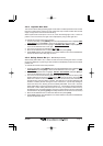
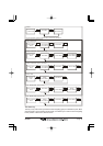
5.0.0 How to show the pictures or diagrams of a Multimedia
Object
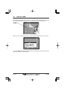
They are shown on the chart page with the camera icon
Move the cursor over the camera icon. You will get the quick info on the object and there
will be the camera icon on the top bar of the window:
Figure 5.0.0a - Example of Quick Info on MULTIMEDIA object
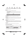
Press [IMAGE] to display the image on the screen or press [EXPAND] to open the Full info on
the object: