


7-1
7. NUMERIC/GRAPHIC DATA
DISPLAY
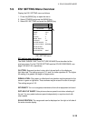
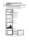
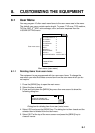
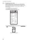
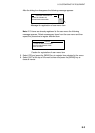
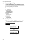
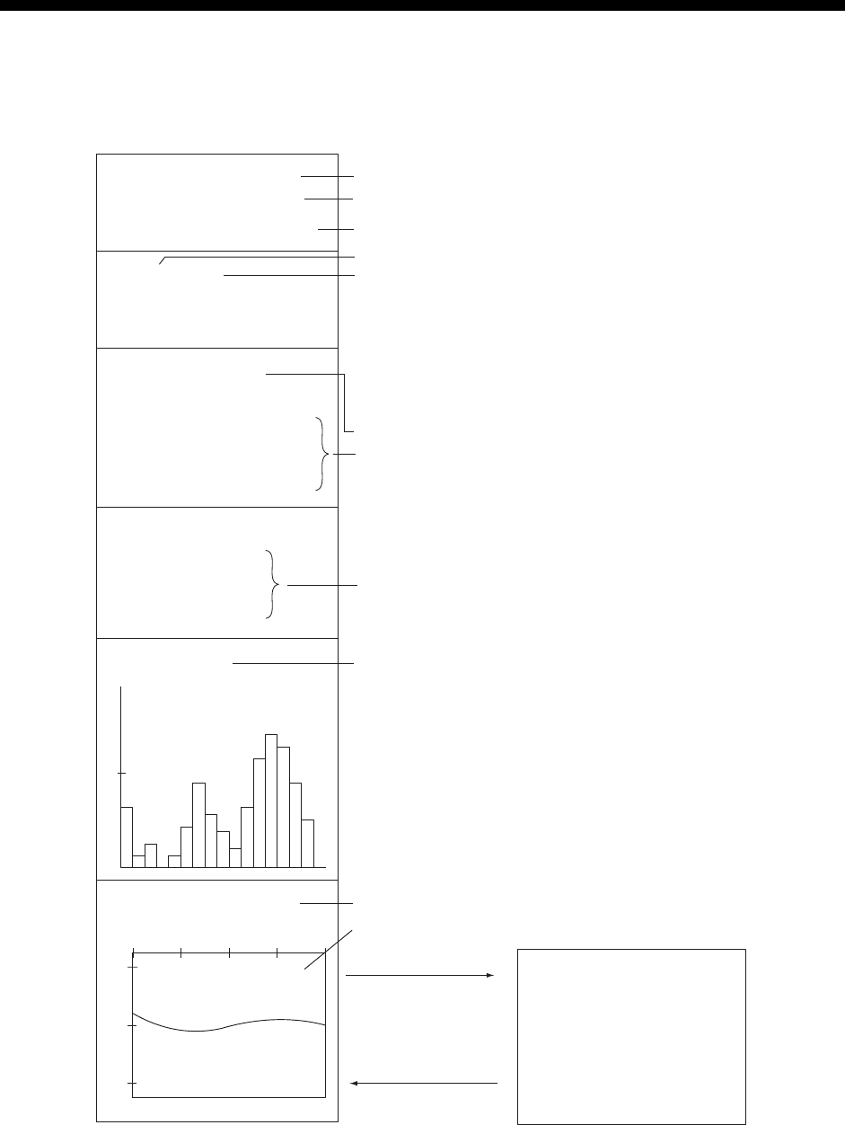
7.1 Full Numeric/Graphic Data Display
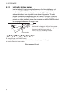
This display provides comprehensive Numeric/graphic data and appears with the
horizontal and vertical displays, at the right side of the display.
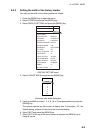
HEADING
321
°
SHIP COURSE
335
°
SHIP SPEED
12.5kt
LAT/LON[DGPS]
DEPTH
321m
WATER CURRENT
C1 1.2kt 342
°
C2 0.8kt 298
°
C3 0.4kt 256
°
NET DEPTH
S1 134m
S2 178m
S3 213m
FISH HISTOGRAM
1 SCAN1
10.3
°
C
WATER TEMP
8
12
10
01020MIN
Heading*
Course*
Speed*
Navigator type (in brackets)*
DGPS: Differrential GPS
KGPS: Kinematic GPS
FGPS: Floating GPS
GPS: GPS
LC: Loran C
DR: Dead Reckoniong
***: Position error
Water current speed
and direction for three
layers*
Net sonde depth
data*
Fish histogram
(See page 5-14.)
Water temperture*,
Water temperature
graph*
Position format
32
°
52.150N
132
°
12.150E
Depth
* Requires appropriate sensor.
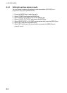
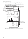
FISH SCHOOL INFO
LENGTH 51 m
WIDTH 47 m
HEIGHT 24 m
DIMENSIONS 2564 m
2
VOLUME 45805 m
3
WEIGHT 59 t
TARGET LOCK ON
(MARK INTERLOCK:
EST & HISTGRAM
at TARGET LOCK menu)
TARGET LOCK OFF
Full Numeric/graphic data display