


GPSMAP
®
6000/7000 Series Owner’s Manual 9
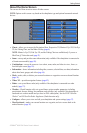
Charts and 3D Chart Views
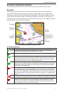
Viewing Location and Object Information on a Chart
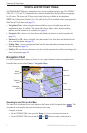
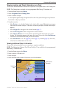
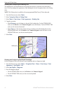
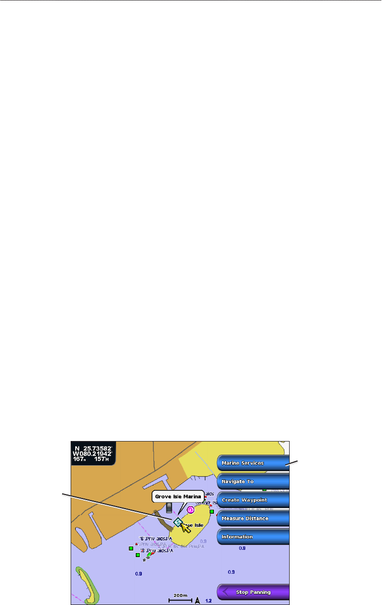
You can view information about a location or an object on the Navigation chart or the Fishing chart.
NOTE: The Fishing chart is available with a preprogrammed BlueChart g2 Vision data card.
1. From the Home screen, select
Charts.
2. Select
Navigation Chart or Fishing Chart.
3. Select a location or object.
A list of options appears along the right side of the chart. The options that appear vary based on
the location or object you selected.
4. Complete an action:
Select Review to view details of objects in the vicinity of the cursor. (Review does not appear
if the cursor is not near an object. If the cursor is near only one object, the name of the object
appears.)
Select Navigate To to navigate to the selected location (page 7).
Select Create Waypoint to mark a waypoint at the cursor location.
Select Measure Distance to view the distance and bearing of the object from your current
location. The information appears in the upper-left corner of the screen. Select Set Reference
to measure from a location other than your current location.
Select Information to view tide (page 46), current (page 47), celestial (page 48), chart notes,
or local services information near the cursor.
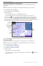
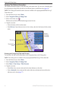
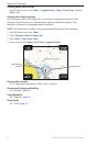
Viewing Additional Object Information
You can view information about on-screen map items, waypoints, and charts.
NOTE: The Fishing chart, Mariner’s Eye 3D, and Fish Eye 3D are available with a preprogrammed
BlueChart g2 Vision data card.
1. From the Home screen, select
Charts.
2. Select a chart or a 3D chart view.
3. Select an object.
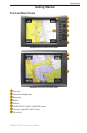
4. Select the button with the name of the item to view the information.
Selected
item
Additional item
information
•
•
•
•
•