


GPSMAP
®
6000/7000 Series Owner’s Manual 83
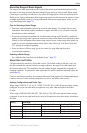
Radar
9. From the Home screen, select Radar.
10. Select
Cruising, Harbor, Offshore, Dual Range, or Sentry.
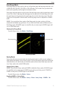
The route appears as a magenta line, with starting point, destination, and turns indicated.
11. Review the course indicated by the magenta line.
12. Follow the magenta line along each leg in the route, steering to avoid land, shallow water, and
other obstacles.
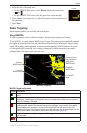
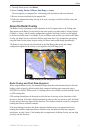
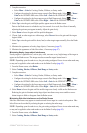
About the Radar Overlay
The Radar Overlay superimposes radar information on the Navigation chart or the Fishing chart.
Data appears on the Radar Overlay based on the most recently used radar mode (Cruising, Harbor,
Offshore, or Sentry), and all settings congurations applied to the Radar Overlay are also applied
to the last-used radar mode. For example, if you use Harbor mode and then you switch to the Radar
Overlay, the Radar Overlay would show Harbor mode radar data. If you changed the gain setting
using the Radar Overlay menu, the gain setting for Harbor mode would change automatically.
The Radar Overlay does not show data based on the Dual Range radar mode, and settings
congurations applied to the overlay are not applied to the Dual Range mode.
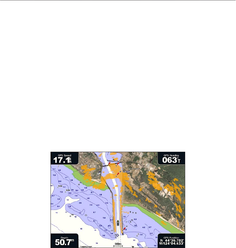
Radar Overlay on the Navigation Chart
Radar Overlay and Chart Data Alignment
When using the Radar Overlay, the chartplotter aligns radar data with chart data based on the boat
heading, which is based by default on data from a magnetic heading sensor connected using a
NMEA 0183 or NMEA 2000 network. If a heading sensor is not available, the boat heading is based
on GPS tracking data.
GPS tracking data indicates the direction in which the boat is moving, not the direction in which
the boat is pointing. If the boat is drifting backward or sideways due to a current or wind, the Radar
Overlay may not perfectly align with the chart data. This situation should be avoided by using boat-
heading data from an electronic compass.
If the boat heading is based on data from a magnetic heading sensor or an automatic pilot, the
heading data could be compromised due to incorrect setup, mechanical malfunction, magnetic
interference, or other factors. If the heading data is compromised, the Radar Overlay may not align
perfectly with the chart data.