


22 GPSMAP
®
6000/7000 Series Owner’s Manual
Charts and 3D Chart Views
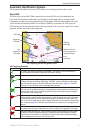
You cannot transfer BlueChart g2 Vision data from the data card to your computer for backup or
viewing purposes. You can use the data card only on BlueChart g2 Vision-compatible Garmin GPS
units.
You can insert or remove a BlueChart g2 Vision data card while your chartplotter is on or off
(page 4).
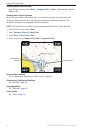
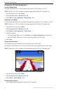
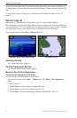
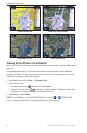
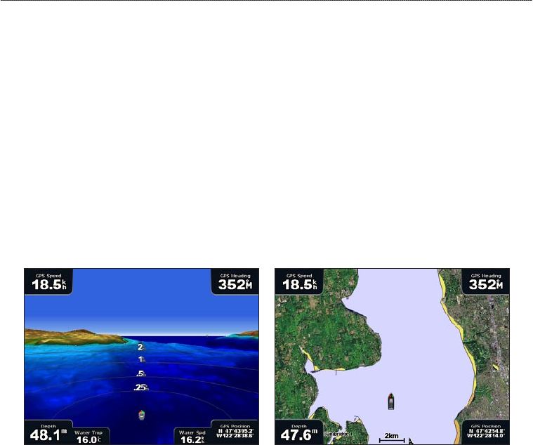
Mariner’s Eye 3D
A BlueChart g2 Vision data card offers Mariner’s Eye 3D, which provides a detailed,
three-dimensional view from above and behind the boat (according to your course) and provides a
visual navigation aid. This view is helpful when navigating tricky shoals, reefs, bridges, or channels,
and when trying to identify entry and exit routes in unfamiliar harbors or anchorages.
From the Home screen, select Charts > Mariner’s Eye 3D.
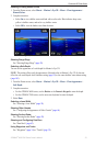
Mariner’s Eye 3D with Range Rings Navigation Chart
Adjusting the View
See “Adjusting the View” (page 19).
Viewing Details about Navaids
See “Viewing Details about Navaids” (page 19).
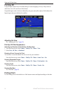
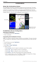
Mariner’s Eye 3D Chart Appearance
Customizing the Appearance of 3D Terrain
You can select how chart data appears over 3D terrain.
1. From the Home screen, select
Charts > Mariner’s Eye 3D > Menu > Chart Appearance >
Style.
2. Complete an action:
Select Classic to use color schemes to indicate 3D terrain.
Select Charts to provide chart information in a 3D view.
Select Photos to provide satellite imagery and chart information in a 3D view.
•
•
•