


20 GPSMAP
®
6000/7000 Series Owner’s Manual
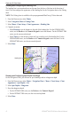
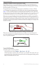
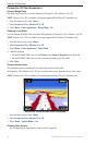
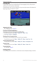
Charts and 3D Chart Views
Perspective 3D Chart Appearance
Showing Range Rings
The range rings help you to visualize distances on Perspective 3D or Mariner’s Eye 3D.
NOTE: Mariner’s Eye 3D is available with a preprogrammed BlueChart g2 Vision data card.
1. From the Home screen, select
Charts.
2. Select
Perspective 3D or Mariner’s Eye 3D.
3. Select
Menu > Chart Appearance > Range Rings > On.
Selecting a Lane Width
You can indicate the width of the navigation lane appearing in Perspective 3D or Mariner’s Eye 3D.
NOTE: Mariner’s Eye 3D is available with a preprogrammed BlueChart g2 Vision data card.
1. From the Home screen, select
Charts.
2. Select
Perspective 3D or Mariner’s Eye 3D.
3. Select
Menu > Chart Appearance > Lane Width.
4. Complete an action:
For the GPSMAP 6000 series, use the Rocker or the Numeric Keypad to enter the width.
For the GPSMAP 7000 series, use the on-screen keyboard to enter the width.
5. Select
Done.
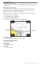
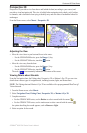
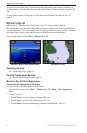
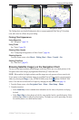
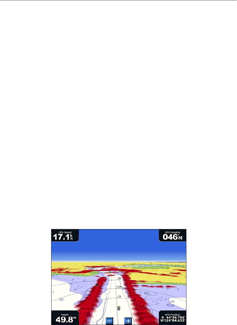
Showing Surface Radar
The chartplotter must be connected to a marine radar to show surface radar.
In Perspective 3D or Mariner’s Eye 3D, you can show radar returns from the surface of the water.
NOTE: Mariner’s Eye 3D is available with a preprogrammed BlueChart g2 Vision data card.
Perspective 3D with Surface Radar Information
1. From the Home screen, select Charts.
2. Select
Perspective 3D or Mariner’s Eye 3D.
3. Select
Menu > Surface Radar > On.
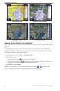
Showing Other Vessels
See “Conguring the Appearance of Other Vessels” (page 66).
•
•