


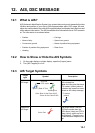
11. WEATHER
11-9
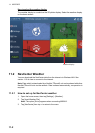
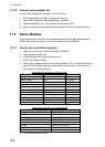
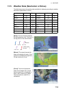
11.5 Weather Data (NavCenter or Sirius)
The table below shows the weather data available for displaying according to weather
data server (NavCenter or Sirius).
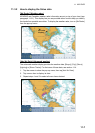
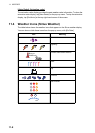
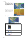
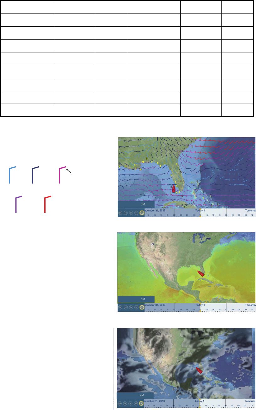
[Wind]: The wind forecast displays
the wind speed by color. The bar at
the top points in the wind direction.
[Waves]: The waves forecast dis-
plays wave height with color. 0 foot
(minimum) is displayed in light blue,
35 feet (maximum) in red.
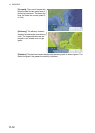
[Cloud]: The cloud forecast dis-
plays cloud images. 8% of cloud
amount (minimum) is displayed in
white, 100% (maximum) in black.
The cloud amount under 8% is
transparent.
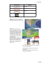
Items NavCenter Sirius Item NavCenter Sirius
Wind Yes Yes Currents Yes No
Waves Yes Yes Altimetry Yes No
SST Yes Yes Plankton Yes No
Cloud Yes No Buoys No Yes
Rain Yes No City No Yes
Pressure Yes Yes Storm No Yes
500mb Yes No Lightning No Yes
Air Temp Yes No Storm Tracks No Yes
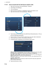
1,621
<5
5
<
, <9
=
9
<
, <14
=
14
<
, <19
=
19
<
=
Direction
Wind speed
in knot
( )
5.003
4,979