


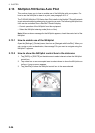
2. PLOTTER
2-20
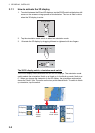
6. Tap [Variable Color Setup].
7. For [Bottom Discrimination], tap [Mud], [Sand], [Rock] or [Gravel]. For others, tap
a color (seven choices).
8. Tap a color for each menu item.
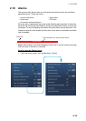
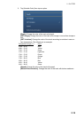
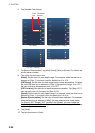
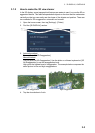
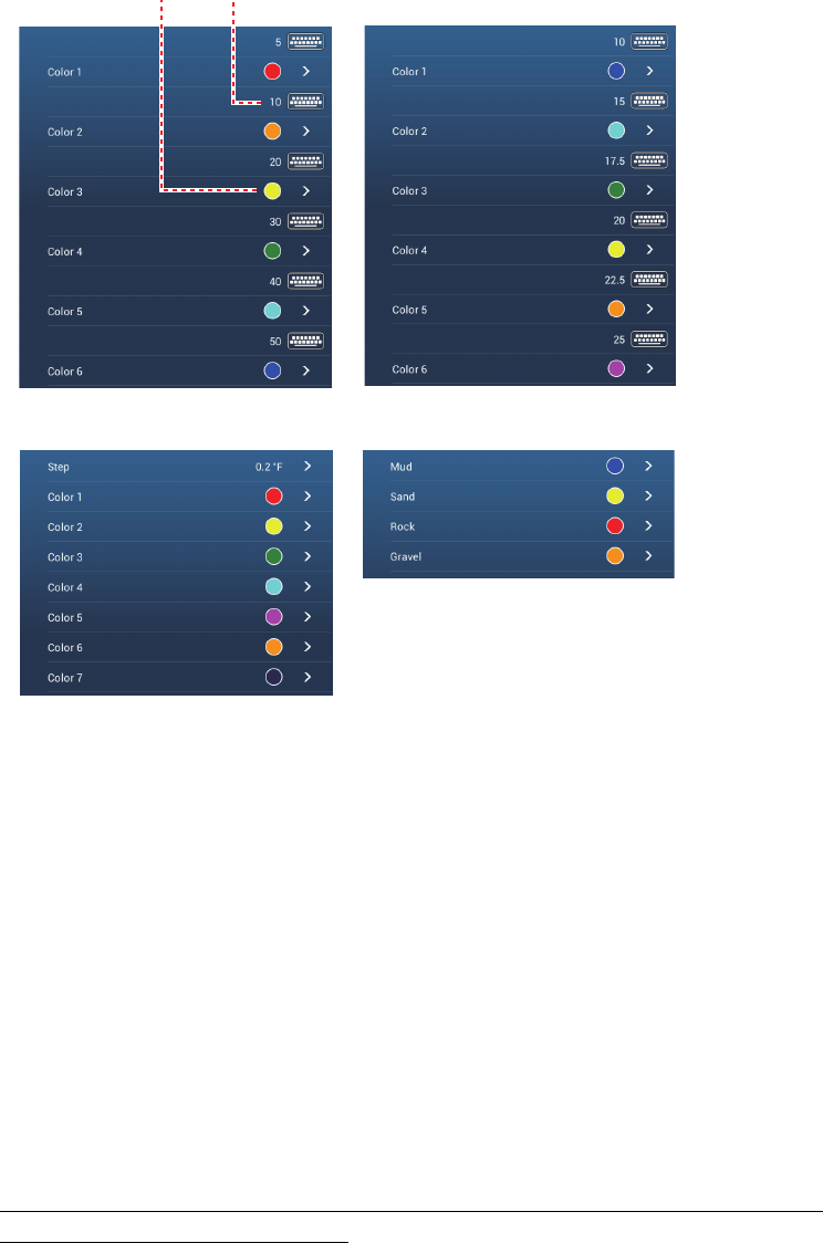
[Depth]: Set the color for each depth range. For example, when the red icon is
selected in [Color 1], the track is red for depths from 5 to 10 ft.
[SST Range]: Set the color for each range of sea surface temperature. For exam-
ple, when the blue icon is selected in [Color 1] (temperature range: 10 to 15°F),
the track is blue for temperatures from 10 to 15°F.
[SST Variation]: Set the color for each temperature variation. Tap [Step 0.2°F],
then set each color. Do the same for [Step 2.0°F].
[Speed]: Set the color for each speed range. For example, when the blue icon is
selected in [Color 1], the track is blue for speed from 0 to 5 kn.
[Bottom Discrimination]: Set the color for each bottom sediment. For example,
when the blue icon is selected in [Mud], the track where mud is found is blue.
For [Depth], [SST Range], [SST Variation] and [Speed], you can change the
threshold amount for each color. Tap a threshold amount to display the software
keyboard. Set the value, then tap .
9. Tap [Close].
10. Tap the close button to finish.
For [Depth]
For [Speed], [SST Range]
For [Bottom Discrimination]
Threshold
amount
Color
icon
For [SST Variation]