


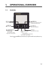
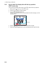

1. OPERATIONAL OVERVIEW
1-5
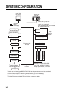
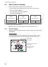
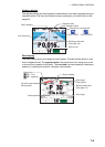
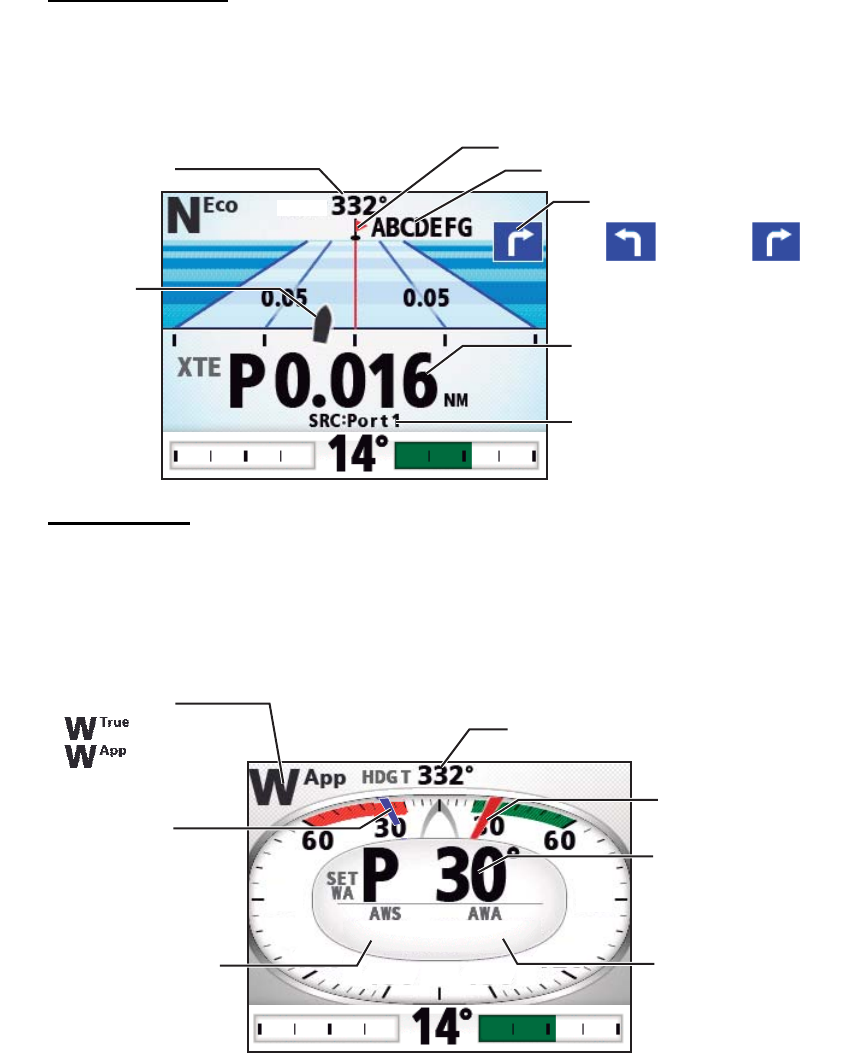
Highway display
The highway display provides a graphic presentation of your boat’s progress along its
intended course. The own ship marker moves according to your boat’s track to the
waypoint.
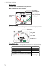
Wind display
The wind display shows wind angle and wind speed. The data can be shown in true
wind or apparent wind. The apparent wind is the actual flow of air acting upon a sail,
or the wind as it appears to the sailor. The true wind is the wind seen by a stationary
observer in velocity and direction. Requires a wind sensor.
Direction to next waypoint
Waypoint name
Own ship mark
HDG T
HDG T
Steering mode data
(See page 1-6.)
Data source
(Turn to STBD)(Turn to PORT)
Waypoint mark
Ship's heading
Wind mode:
Ship's heading
Set wind angle
(Blue pointer)
Wind angle
(Red pointer)
Steering mode data
(See page 1-6.)
Wind speed
Wind angle
S
30.0
30.0°
10.2
10.2
kn
kn
90
9 0
90
90
120
120
120
120
: True
: Apparent