


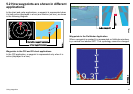
5.1 Waypoints
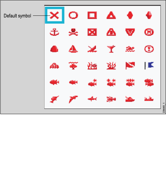
A waypoint is a position marked on a chart, radar or shnder
window to indicate a site (for shing, diving etc.) or as a place to
navigate to. By default, all waypoints are indicated on screen by a
waypoint symbol (x). This symbol can be changed if required. You
can also select an alternative symbol to be used as the default for
newly created waypoints.
D9440_1
Default symbol
Waypoints are a core feature of your multifunction display. They can
be created in any application and are displayed on the radar, chart
and shnder windows. A series of waypoints can be combined
together to form a route. The details of all waypoints, irrespective
of the application they were created in, are stored in a dedicated
waypoint list which will hold up to 3000 waypoints. All waypoints are,
by default, placed in the MY WAYPOINTS group. If required, you
can create new groups and change the default group. If necessary,
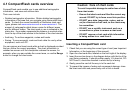
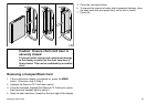
waypoints can be archived to a CompactFlash card or transferred
to another NMEA compatible instrument. If the system receives an
active waypoint over SeaTalk or NMEA, it is displayed but cannot
be edited. If required, you can prevent access to, modication and
sight of your waypoint and route databases and functions by means
of a password.
40 C-Series Widescreen user reference