


4-48
Garmin G600 Pilot’s Guide
190-00601-02 Rev. E
Foreword
Sec 1
System
Sec 2
PFD
Sec 3
MFD
Sec 4
Hazard
Avoidance
Sec 5
Additional
Features
Sec 6
Annun.
& Alerts
Sec 7
Symbols
Sec 8
GlossaryAppendix A
Appendix B
Index
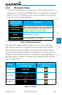
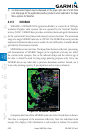
4.9 XM Weather (Optional)
The primary map for viewing XM Weather data are the Weather Data Link
Pages in the Map Page Group. These are the only GDU 620 map displays capable
of all available XM weather products. The Wx Weather pages may be oriented
to either Track Up or North Up. Canadian Radar provided by Environment
Canada.
4.9.1 Using XM Satellite Weather Products
When a weather product is active on the Weather Data Link Page or the
Navigation Map Page, the age of the data is displayed on the screen. The age of
the product is based on the time difference between when the data was assembled
on the ground and the current GPS time. Weather products are refreshed at
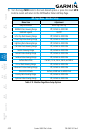
specific intervals (defined in the Refresh Rate column).
If for any reason, a weather product is not refreshed within the 30, 60, 90,
or 120 minute Expiration Time intervals, the data is considered expired and is
removed from the display. This ensures that the displayed data is consistent with
what is currently being broadcast by XM Satellite Radio services. If more than
half of the expiration time has elapsed from the time the data is received, the
color of the product age displayed changes to yellow.
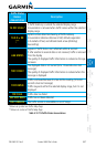
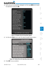
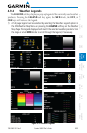
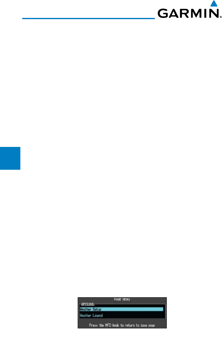
4.9.2 Customizing the XM Weather Map
Each Wx Data Link Map page may be customized individually. The Wx
Data Link Map pages are customized by selecting options from the Page Menu.
The Page Menu options include choices for Weather Setup and displaying the
Weather Legends. The Weather Setup choice covers selections for adjusting the
viewing ranges of the weather products.
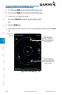
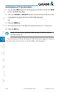
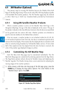
1) While viewing a WX Data Link Map page of the WX page group, press the
MENU key to display the Page
Menu Options
. The cursor flashes on the
“Weather Setup” option. Press ENT
.
Figure 4-31 Weather Page Menu Options