


Garmin G1000H
™
Pilot’s Guide for the Bell 407GX
190-01255-00 Rev. B146
FLIGHT MANAGEMENT
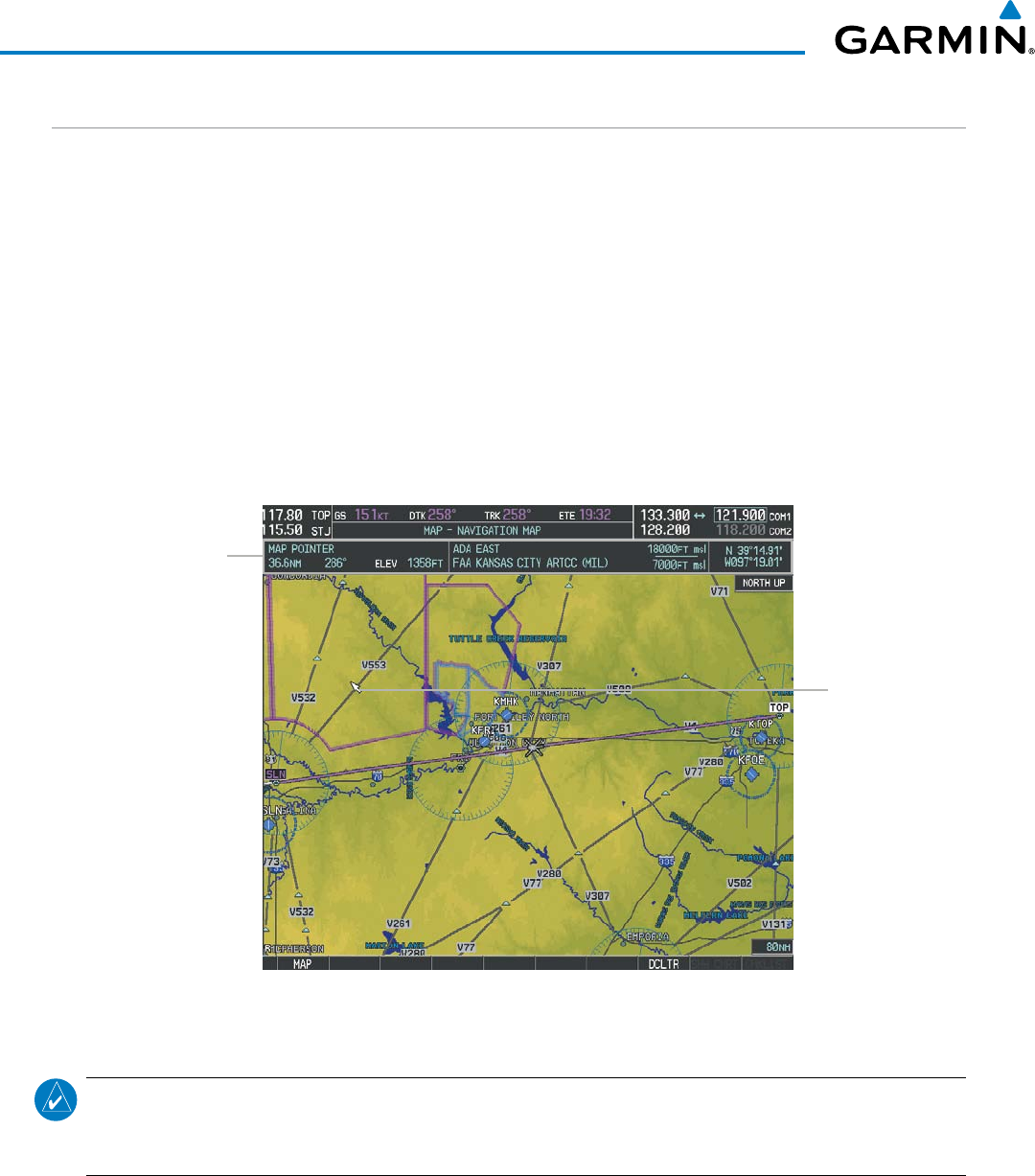
MAP PANNING
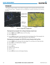
Map panning allows the pilot to:
•Viewpartsofthemapoutsidethedisplayedrangewithoutadjustingthemaprange
•Highlightandselectlocationsonthemap
•Reviewinformationforaselectedairport,NAVAIDoruserwaypoint
•Designatelocationsforuseinightplanning
•Viewairspaceandairwayinformation
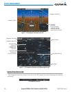
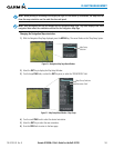
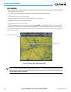
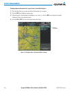
When the panning function is selected by pressing the Joystick, the Map Pointer flashes on the map display.
A window also appears at the top of the map display showing the latitude/longitude position of the pointer,
the bearing and distance to the pointer from the aircraft’s present position, and the elevation of the land at the
position of the pointer.
Figure 5-8 Navigation Map - Map Pointer Activated
Map Pointer
Map Pointer Information
NOTE: The map is normally centered on the aircraft’s position. If the map has been panned and there has
been no pointer movement for about 60 seconds, the map reverts back to centered on the aircraft position
and the flashing pointer is removed.