Garmin G1000H
™
Pilot’s Guide for the Bell 407GX
190-01255-00 Rev. B 379
ADDITIONAL FEATURES
SVS FEATURES
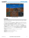
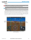
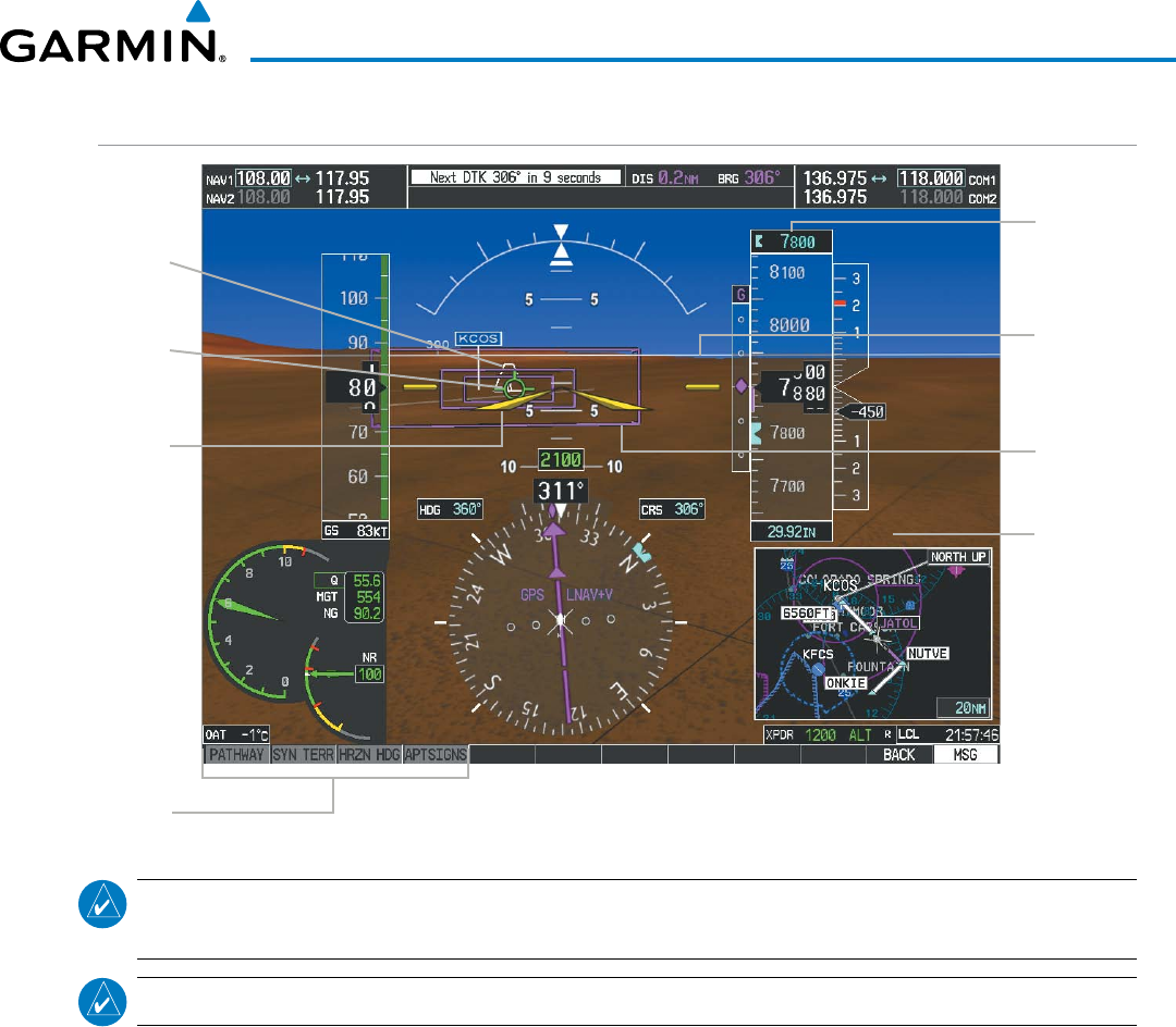
Figure 8-3 SVS on the Primary Flight Display
SVS
Softkeys
Synthetic
Terrain
Pathways
Flight
Path
Marker
Airport
Runway
Zero
Pitch Line
(ZPL) with
Compass
Heading
Marks
Airplane
Symbol
Selected
Altitude
NOTE: Pathways and terrain features are not a substitute for standard course and altitude deviation
information provided by the altimeter, CDI, and VDI.
NOTE: Pathways are not available when the cross-pointer (X-Pointer) flight director format is selected.
PATHWAYS
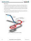
Pathwaysprovideathree-dimensionalperspectiveviewoftheselectedrouteofightshownascoloredrectangular
boxesrepresentingthehorizontalandverticalightpathoftheactiveightplan.Theboxsizerepresents700feet
wideby200feettallduringenroute,oceanic,andterminalightphases.Duringanapproach,theboxwidthis
700feetoronehalffullscaledeviationontheHSI,whicheverisless.Theheightis200feetoronehalffullscale
deviationontheVDI,whicheverisless.Thealtitudeatwhichthepathwayboxesaredisplayedisdeterminedby
theselectedaltitudeduringclimb,cruise,andwhentheactivelegisthenalapproachcoursepriortointercepting
theglidepath/glideslope.Duringadescent(exceptwhileontheapproachglidepath/glideslope),thepathwayboxes
aredisplayedattheselectedaltitude,ortheVNAValtitudeprogrammedfortheactivelegintheightplan,orthe
publishedaltitudeconstraint,whicheverishigher(Figure8-4).Justpriortointerceptingtheglidepath/glideslope,
thepathwayboxesaredisplayedontheglidepath/glideslope,ortheselectedaltitude,whicheverislower.
Thecoloroftherectangularboxesmaybemagenta,green,orwhitedependingontherouteofightandnavigation
sourceselected.TheactiveGPSorGPSoverlayightplanlegisrepresentedbymagentaboxesthatcorrespondto
theMagentaCDI.AlocalizercourseisrepresentedbygreenboxesthatcorrespondtoagreenCDI.Aninactive
legofanactiveightplanisrepresentedbywhiteboxescorrespondingtoawhitelinedrawnontheInsetmapor
MFDmapindicatinganinactiveleg.


