


Garmin G1000H
™
Pilot’s Guide for the Bell 407GX
190-01255-00 Rev. B294
HAZARD AVOIDANCE
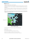
NEXRAD
NOTE: NEXRAD data cannot be displayed at the same time as turbulence, icing, or terrain.
WSR-88D, or NEXRAD (NEXt-generation RADar), is a network of 158 high-resolution Doppler radar
systems that are operated by the National Weather Service (NWS). NEXRAD data provides centralized
meteorologicalinformationforthecontinentalUnitedStatesandselectedoverseaslocations.Themaximum
rangeofasingleNEXRADradarsiteis250nm.Inadditiontoawidearrayofservices,theNEXRADnetwork
providesimportantinformationaboutsevereweatherandairtrafcsafety.
NEXRAD data is not real-time. The lapsed timebetween collection, processing, anddissemination of
NEXRADimagescanbesignicantandmaynotreectthecurrentradarsynopsis.Duetotheinherentdelays
andtherelativeageofthedata,itshouldbeusedforlong-rangeplanningpurposesonly.NeveruseNEXRAD
dataoranyradardatatopenetratehazardousweather.Rather,useitinanearly-warningcapacityofpre-
departure and enroute evaluation.
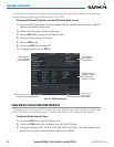
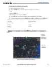
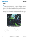
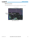
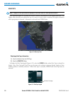
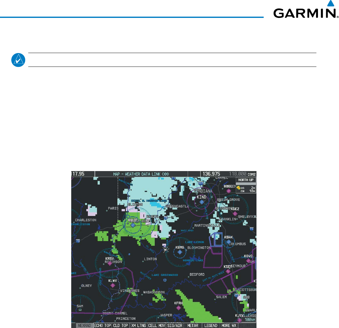
Figure 6-10 NEXRAD Data on the Weather Data Link (XM) Page
NEXRADdatacanbedisplayedonthefollowingmaps:
•PFDInsetMap
•NavigationMapPage
•WeatherDataLink(XM)Page
•AirportInformationPage
•TripPlanningPage
•NearestPages
•FlightPlanPages