


Embraer Prodigy
®
Flight Deck 100 Pilot’s Guide
190-00728-04 Rev. A174
FLIGHT MANAGEMENT
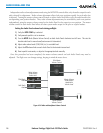
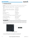
5.2 USING MAP DISPLAYS
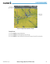
Map displays are used extensively to provide situational awareness in flight. Most maps can display the following
information:
•Airports, NAVAIDs, airspaces, airways, land data
(highways, cities, lakes, rivers, borders, etc.) with
names
•Map Pointer information (distance and bearing to
pointer, location of pointer, name, and other pertinent
information)
•Maprange
•Wind direction and speed
•Maporientation
•Iconsforenabledmapfeatures
•Aircrafticon(representingpresentposition)
•Navrangering
•Fuelrangering
•Flightplanlegs
•Userwaypoints
•Trackvector
•Topographyscale
•Topographydata
•Obstacledata
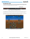
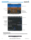
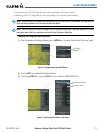
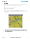
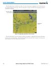
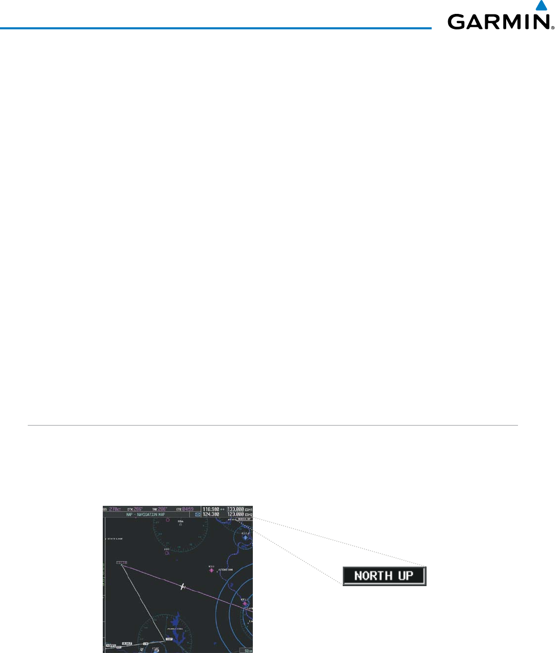
MAP ORIENTATION
Maps are shown in one of four different orientation options, allowing flexibility in determining aircraft
position relative to other items on the map (north up) or for determining where map items are relative to where
the aircraft is going (track up, desired track up, or heading up). The map orientation is shown in the upper
right corner of the map.
Figure 5-3 Map Orientation
•Northup(NORTHUP)alignsthetopofthemapdisplaytonorth(defaultsetting).
•Trackup(TRKUP)alignsthetopofthemapdisplaytothecurrentgroundtrack.
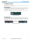
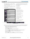
•AllMapGroupPages(MAP)
•AllWaypointGroupPages(WPT)
•AUX-TripPlanning
•AllNearestGroupPages(NRST)
•FlightPlanPages(FPL)
•Direct-toWindow
•PFDInsetMap
•ProcedureLoadingPages
The information in this section applies to the following maps unless otherwise noted: