


Embraer Prodigy
®
Flight Deck 100 Pilot’s Guide
190-00728-04 Rev. A186
FLIGHT MANAGEMENT
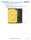
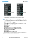
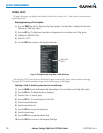
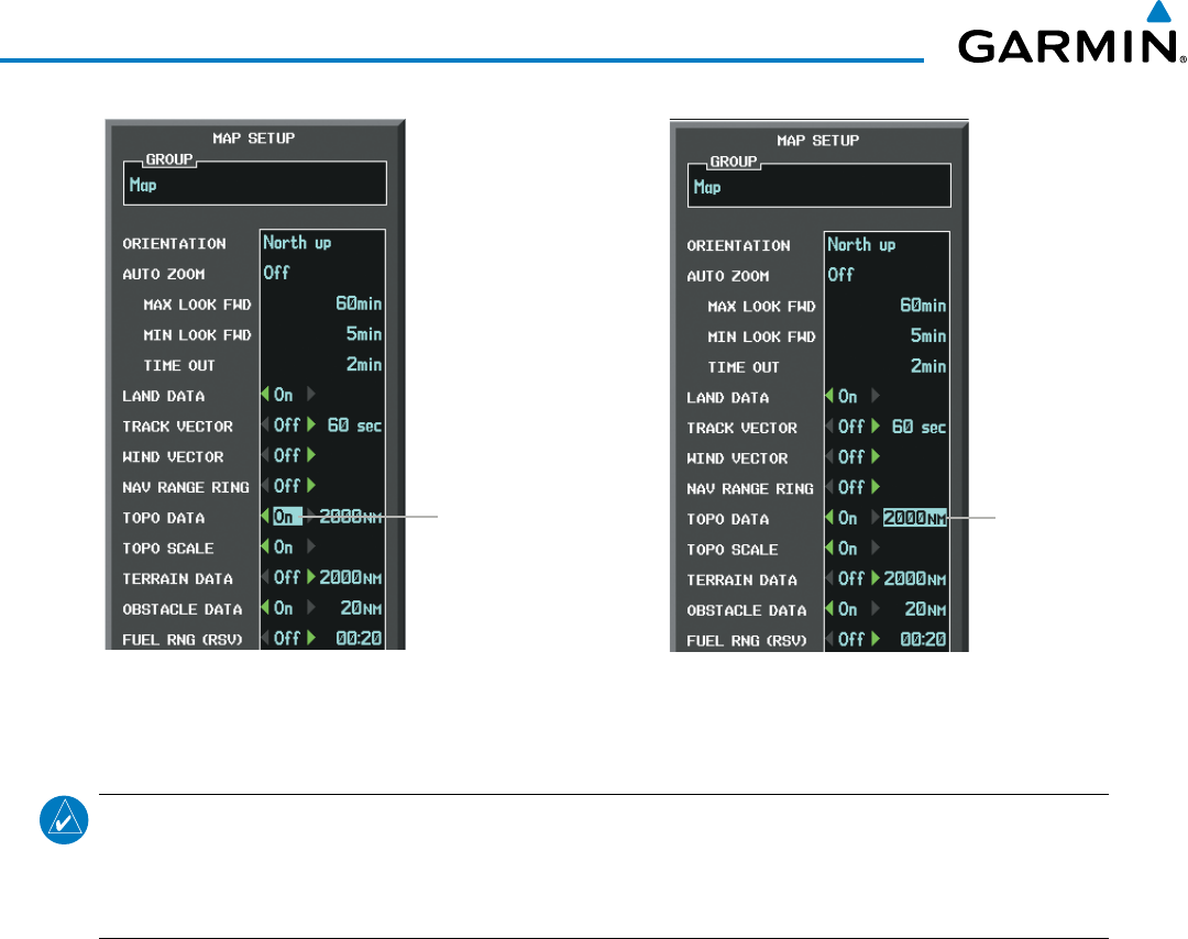
Figure 5-15 Navigation Map Setup Menu - TOPO DATA Setup
TOPO DATA
On/Off
TOPO DATA
Range
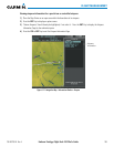
The topographic data range is the maximum map range on which topographic data is displayed.
NOTE: Since the PFD Inset Map is much smaller than the MFD navigation maps, items are removed on the
PFD Inset Map two range levels smaller than the range selected in the Map Setup pages (e.g., a setting
of 100 nm removes the item at ranges above 100 nm on MFD navigation maps, while the PFD Inset Map
removes the same item at 50 nm).
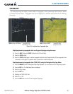
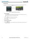
Selecting a topographical data range (TOPO DATA):
1) Press the MENU Key with the Navigation Map Page displayed. The cursor flashes on the ‘Map Setup’ option.
2) Press the ENT Key. The Map Setup Menu is displayed.
3) Select the ‘Map’ group.
4) Press the ENT Key.
5) Highlight the ‘TOPO DATA’ range field. TOPO ranges are from 500 ft to 2000 nm.
6) To change the TOPO range setting, turn the small FMS Knob to display the range list.
7) Select the desired range using the small FMS Knob.
8) Press the ENT Key.
9) Press the FMS Knob to return to the Navigation Map Page.
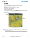
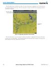
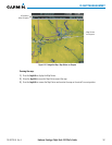
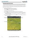
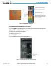
In addition, the Navigation Map can display a topographic scale (located in the lower right hand side of the
map) showing a scale of the terrain elevation and current elevation values.