190-00728-04 Rev. A
Embraer Prodigy
®
Flight Deck 100 Pilot’s Guide
509
ADDITIONAL FEATURES
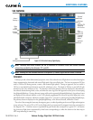
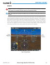
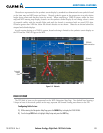
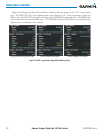
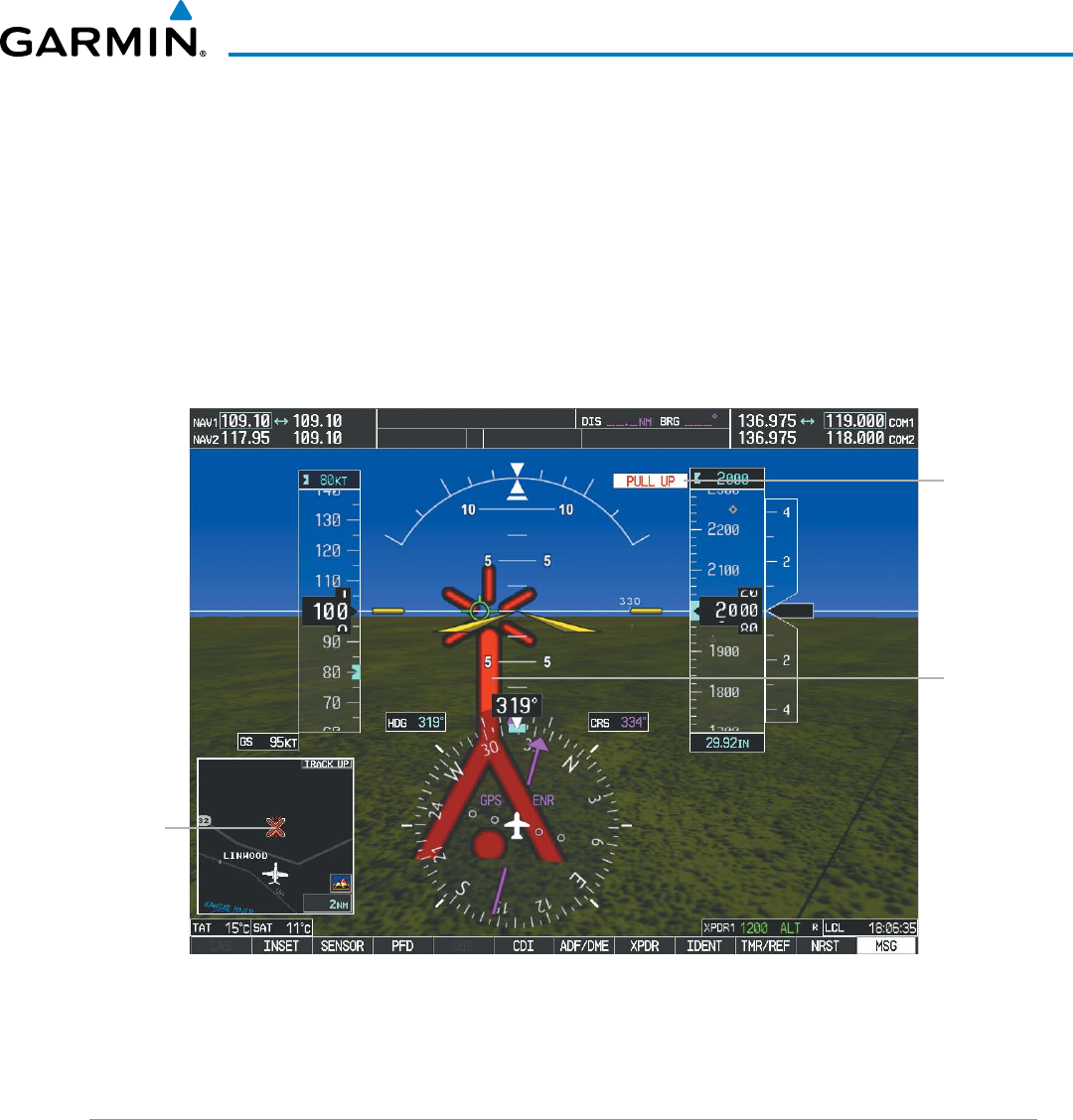
Obstaclesarerepresentedonthesyntheticterraindisplaybystandardtwo-dimensionaltowersymbolsfound
ontheInsetmapandMFDmapsandcharts.Obstaclesymbolsappearintheperspectiveviewwithrelative
height above terrain and distance from the aircraft. When employing a TAWS-B system, unlike the Inset
mapandMFDmovingmapdisplay,obstaclesonthesyntheticterraindisplaydonotchangecolorstowarn
of potentialconict withthe aircraft’s ightpath untilthe obstacleis associatedwith anactual FLTA alert.
Obstaclesgreaterthan1000feetbelowtheaircraftaltitudearenotshown.Obstaclesareshownbehindthe
airspeed and altitude displays.
AswithterrainalertingonaTAWS-Asystem,obstaclealertingislimitedtothesyntheticterraindisplayon
thePFDandtheTAWS-APageontheMFD.
Figure 8-11 Obstacle
Potential
Impact
Point
Obstacle
Warning
TERRAIN
Annunciation
FIELD OF VIEW
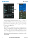
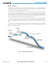
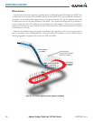
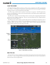
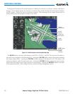
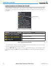
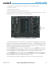
ThePFDeldofviewcanberepresentedontheMFDNavigationMapPage.Twodashedlinesforminga
V-shapeinfrontoftheaircraftsymbolonthemap,representtheforwardviewingareashownonthePFD.
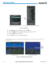
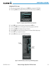
Configuring field of view:
1) While viewing the Navigation Map Page, press the MENU Key to display the PAGE MENU.
2) Turn the large
FMS
Knob to highlight Map Setup and press the
ENT
Key.


