


Vector Chart material · 121
Display Base
A subset of chart features is called as Display base. As required by IMO, these features cannot be made invisible
under any user selection. The Display Base consist of following chart features:
· coastline (high water)
· own ship's safety contour, which is selected by the user
· indication of isolated underwater dangers of depths less than the safety contour, which lie within the safe waters
defined by the safety contour
· indication of isolated dangers, which lie within the safe water defined by the safety contour such as bridges,
overhead wires, etc., and including buoys and beacons whether or not these are being used as aids to navigation
· traffic routine systems
· scale, range, orientation and display mode
· units of depth and height
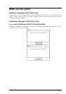
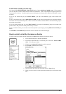
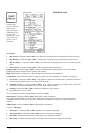
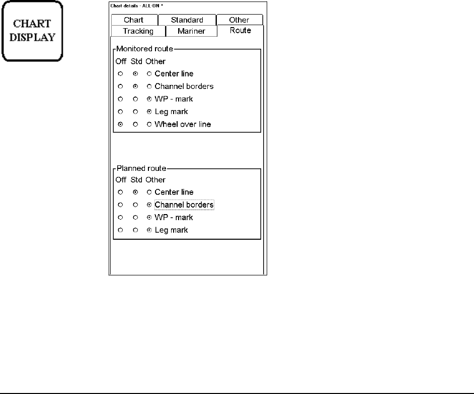
Control of visible navigation features
Visibility control of the navigation features is divided into three sheets. Sheet Route controls Planned and
Monitored route. Sheet Tracking control past tracks and some other features. Sheet Mariner control Pilot data, User
charts and Chart alarms. Press CHART DISPLAY button to open Chart details window. Use SELECT NEXT to
open desired sheet in Chart details window.
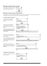
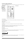
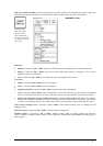
User can define settings for chart details which are displayed over chart area. This means that user can select
different layers to be Off, Std or Other. Selection of Off is self explanatory. Selection of Std is set as visible, if the
STANDARD DISPLAY button is pressed. Selection of Other is set as invisible, if the STANDARD DISPLAY
button is pressed
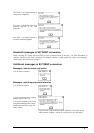
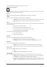
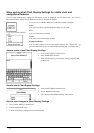
Monitored and
planned routes are
non-chart
information. All the
selected items are
shown on top of
chart data
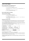
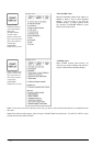
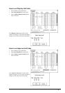
"ROUTE" sheet
Sheet ROUTE contain selection of route
related navigation features
Monitored route, user can select which part of monitored route is displayed.
Planned route, user can select which part of planned route is displayed.