


Chart Alarms · 221
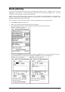
Route planning
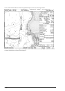
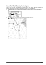
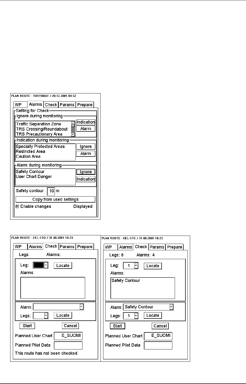
The system will calculate Chart Alarms using user defined channel limit for route. Dangerous areas are shown
highlighted if safety contour or user selected Chart Alarm areas are crossed by the planned route. For more
information of route planning, see chapter "Route planning".
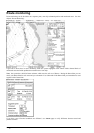
Note! If your voyage is going to take a long time or you are planning it much earlier than it is taking place, use
display and approve dates corresponding dates you are going to sail. For more information, see chapter "Time
dependent and periodical features of S57 chart"
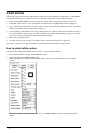
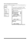
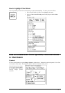
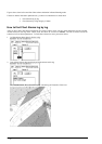
You can generate a list of Chart Alarms which are across by the planned route. Proceed as follows:
1. Enter Safety Contour you want to use.
2. Plan a route, define waypoints and other necessary information.
3. Select dangerous objects to be used during Route monitoring in Chart Alarm calculation.
4. After that open Check sheet, to generate a list of alarms press Start button. The system will check a route leg
by leg and when finish you will see number of Legs and Alarms in an upper part of dialog box.