


User chart control · 271
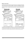
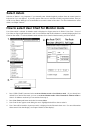
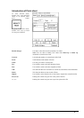
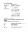
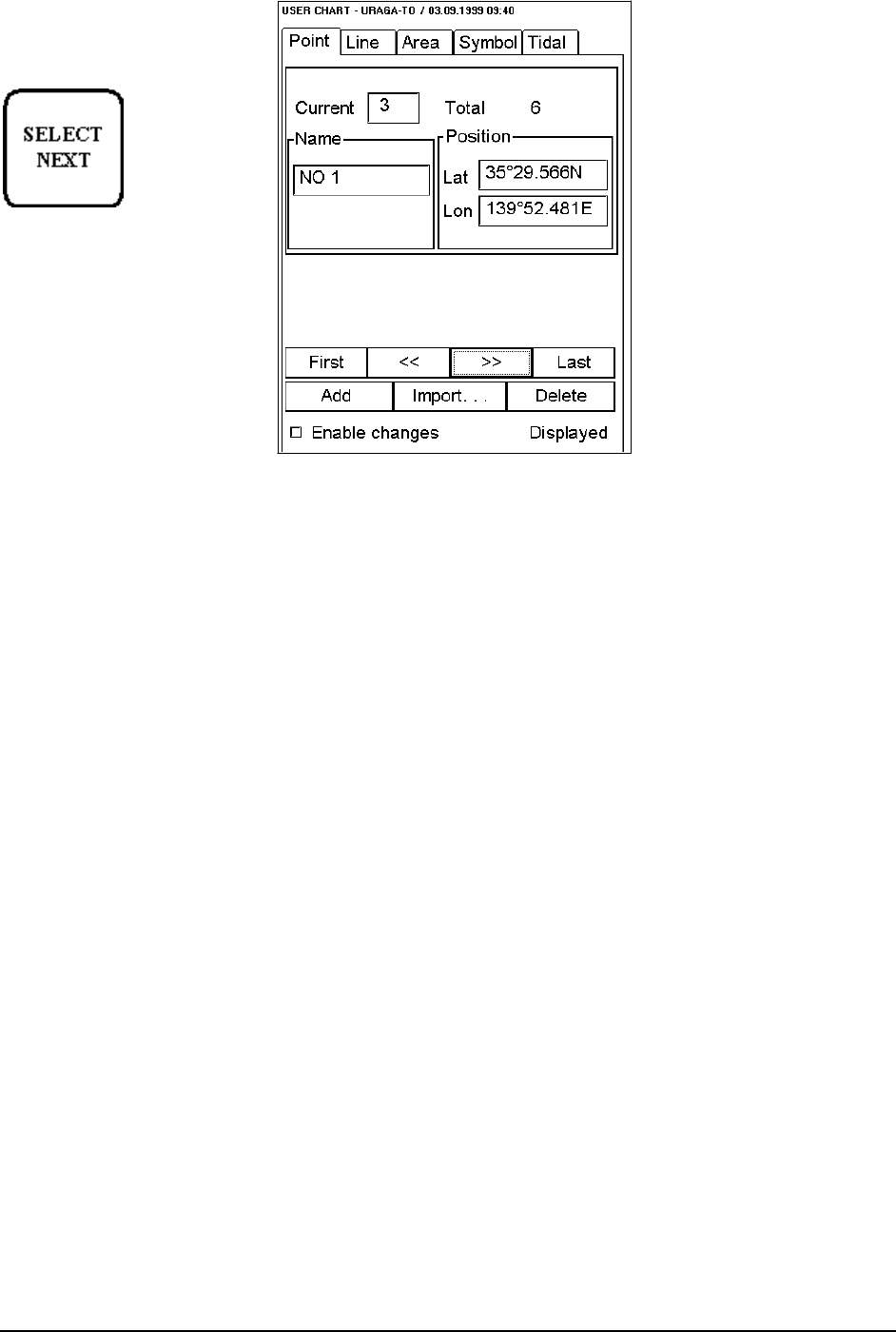
Introduction of Point sheet
To select between Point,
Symbol, Line,, Area and Tidal
sheets to be opened either
press button
or go by cursor above Point,
Symbol, Line, Area or Tidal
text and press SELECT
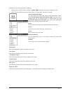
Enable changes:
User has to select this in order to modify User Chart.
Note! You are able to modify User Chart when Head Up or Route Up
orientation is selected to be used.
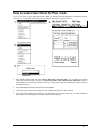
Current:
It is indicated number of current Point in this field.
Total:
Total indicates total number of Points.
Name:
User can give name to current point.
Lat:
User is able to enter to edit box latitude of Point.
Lon:
User is able to enter to edit box longitude of Point.
Add:
This function adds new record next to current record with the same information.
Delete:
This function deletes current record of Point.
Import:
User is able to select from the list a User Chart to import into current Point list.
First, Last:
Pushing this control user gets first or last point of the file.
>>, <<:
Pushing this control user gets next or previous point of the file.