


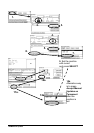


214 · Chart Alarms
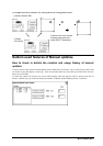
Chart alarms
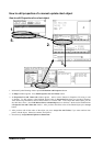
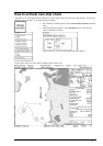
Official S57 chart material consists depth contours which can be used calculation of chart alarms. A chart database
also includes different types of objects which user can include in chart alarms. Proceed following steps:
1. Select suitable safety contour for your own ship. See chapter "How to select safety contour" on page 214.
2. Check that "Chart Alarms" is set to be displayed. See chapter "How to highlight Chart Alarm" on page 217.
3. If you want include Chart alarms some other objects or areas, select them for indication or alarm. See chapter
"How to select objects used in Chart Alarm" on page 215.
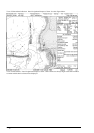
4. In route planning mode define a new route or select existing one. Make an Chart Alarm calculation of route if
there are indications of danger areas. For more information, see chapter "Route planning" on page 221. Modify
your route if necessary and make the Chart Alarm calculation again.
5. Select route as monitored route.
6. Set watch sector for your own ship. See chapter "How to activate own ship check" on page 219.
The system is ready for Chart Alarm calculation of monitored route and estimated own ship position.
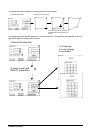
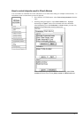
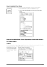
How to select safety contour
User has to select safety depth suitable for the own ship. To select proceed as follows:
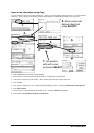
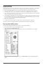
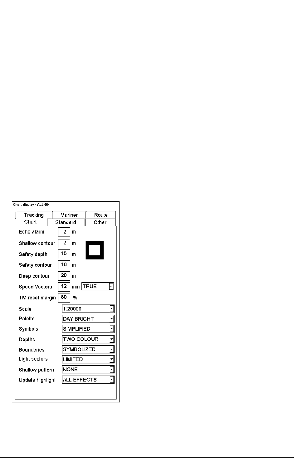
1. Press CHART DISPLAY button. Select Chart sheet open.
2. Enter desired depth into Safety contour -field.
Note, if the chart does not consist selected depth contour, the system will automatically select next deeper
contour.
Here in this example safe water depth is set as 10 m. Use Safety Contour -field to set depth limit for Chart
Alarms.