


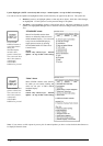

190 · Manual Updates
Which symbols to use with Manual Updates
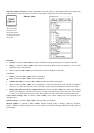
Manual updates can be used at least for following purposes:
· To keep the charts up-to-date using similar symbols as the real chart uses. Later these symbols are called as
"True symbols".
· To keep the charts up-to-date using easily detectable orange symbols reserved for this purpose. Later these
symbols are called as "Orange symbols".
· To add additional mariner information using easily detectable orange symbols reserved for this purpose
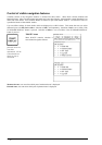
Orange symbols are recommended because then you, your mates and pilots can easily detect these symbols. Another
benefit of orange symbols is that as property less they are very easy to insert. However orange symbols do not offer
all possibilities. Experienced users can use true symbols to create their own mariner cartography.
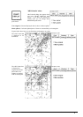
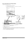
Display of Manual Updates
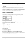
How to control visibility of Orange symbols from Manual Updates
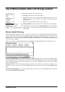
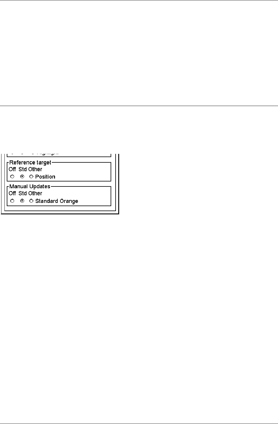
Visibility of Orange symbols of Manual Updates is controlled on Mariner pages of Chart Display.
On Mariner page selection of Standard Orange is placed to Manual Update field.
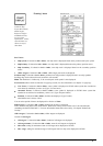
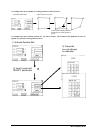
For Chart Alarms calculation following Orange Symbol can be detected and highlighted during Route Planning and
Route Monitoring. The associated alarm is "5100 Safety contour".
Category type:
· Symbol; Mariner Danger Highlight
· Symbol; Mariner Foul Ground
· Symbol; Mariner Isolated Danger
· Symbol; Mariner Obstruction
· Symbol; Mariner Underwater Rock
· Symbol; Mariner Wreck
· Line; Mariner Danger Highlight Line
· Area; Mariner Danger Highlight Area
How to control visibility of True symbols from Manual Updates
Chart features added by Manual Updates behave exactly as any other chart feature. Their visibility follows common
rules. For more information, see chapter "Control of visible chart features".