


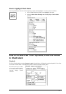


Chart Alarms · 225
Chart Alarm using ARCS charts
In case of using ARCS charts, you can yourself define dangerous areas by using User Chart. The system can utilise
User Chart symbols, lines and areas and calculate Chart Alarm from this material. See also chapter "User Chart
Control".
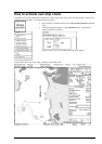
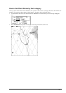
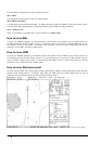
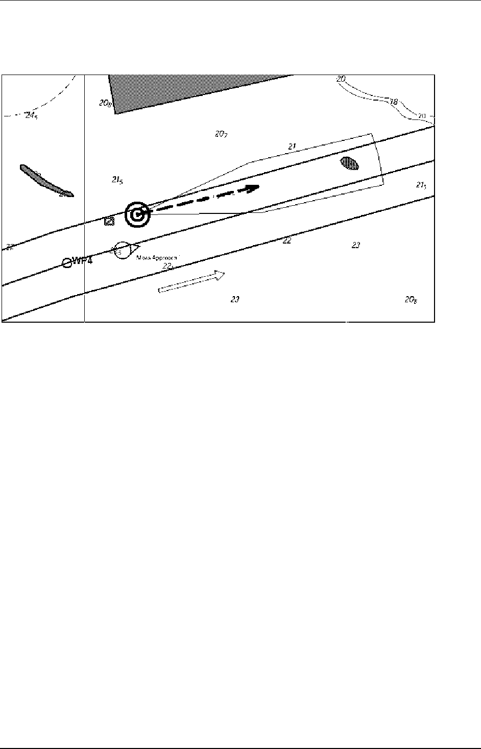
Chart Alarm used with ARCS chart. The calculation is done with route and predicted movement area of own ship.
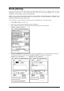
Proceed following steps, when you start planning of next voyage:
1. Create a new User Chart or select existing one which has been defined symbols, lines and/or
areas for Chart Alarms. See "How to include User Chart Symbols, Lines and Areas in Chart
Alarm" on page 217.
2. Check that "Chart Alarm Warning Area" is set to be displayed. See chapter "How to highlight
Chart Alarm" on page 217.
3. Select User Chart danger area indication or alarm position. See "How to select objects used in
Chart Alarm" on page 215.
4. In route planning mode define a new route or select existing one. Make Chart Alarm of route
if there are indications of danger areas. Modify your route if necessary. See chapter "Route
planning".
5. Select route as monitored route.
6. Set watch sector for your own ship. See chapter "How to activate own ship check" on page
219.
The system is ready for Chart Alarms based on User Chart for monitored route, planned route and own ship.