


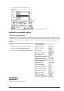
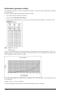
398 · Parameters setup
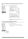
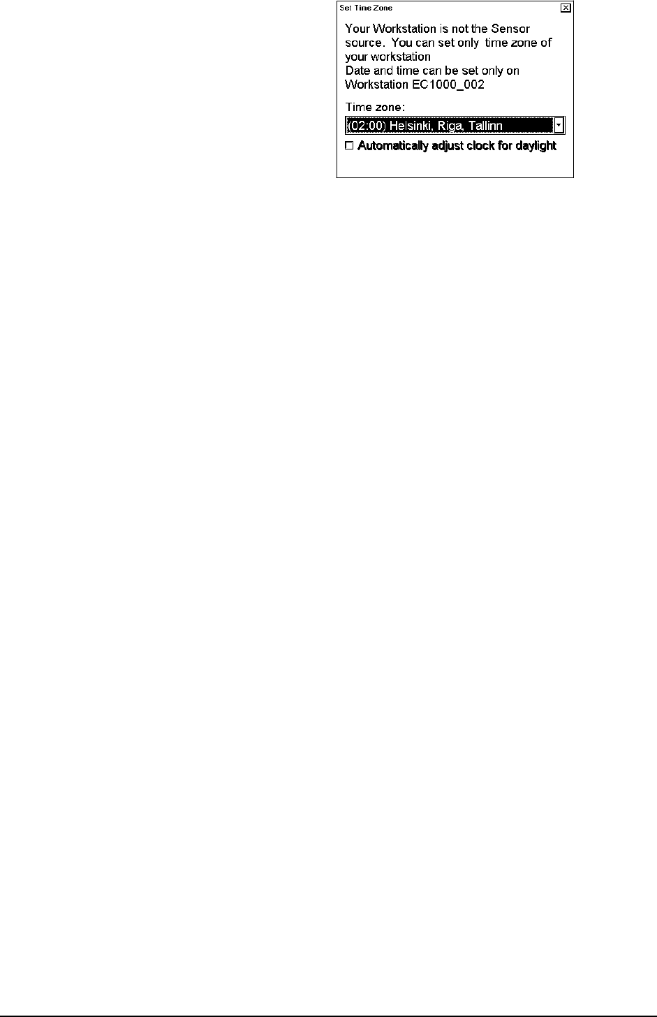
Following windows appear, when you try to set time any
other Workstation:
Only Time zone can be set. Select desired time zone
from the list box. If time is liked to be set, you have to
set it a Workstation selected as Sensor source.
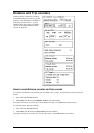
Parameter backup:
User can take backup copy from parameters. See chapter "Backup operation".
Installation parameters:
The ECDIS system parameters are set by installation parameters. Note! To access Installation parameters, you will
need a key disc, which was delivered by the manufacturer. See Technical Manual for details.
Navigation parameters:
This function is used to define parameters for a ship and a route. For more information about setting Navigation
parameters, see "Ship and route parameters" on page 399.
Optimization parameters:
This function is used to define parameters for speed and fuel consumption. For more information setting
Optimization parameters, see "Optimization parameters setting" on page 402.
Print navigation parameters:
Prints navigation parameters to default printer.
Print optimization parameters:
Prints optimization parameters to default printer.
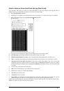
How to access to installation parameters
Installation parameters command is used to set installation parameters for the system. All these parameters have
something to do with hardware configurations and setup. It is necessary to modify them only during installation and
later changes of sensor configuration. While this function is not part of normal operation, it is fully described in the
technical manual.
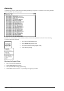
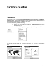
How to select Datum
Datum is used to select between different models of the earth. It is essential that you use Datum in a consistent way.
See also chapter "ECDIS and Datum" on page 396.
If you use paper charts together with electronic chart material, it is recommended that you use the same Datum as
your current paper chart to avoid misalignment between your electronic system and points taken or plotted on your
current paper chart.
Once you have selected a datum, all numerical latitude-longitude position values are presented in your selected
datum.
Note: If you use ARCS raster chart material the rasterized charts contain some rasterized position information.
These positions like scales in the edges of ARCS charts are true only if you have selected native datum of that ARCS
chart. Normally this is the natural situation, because you use ARCS together with equal official paper chart and
because you have selected as datum the datum of your equal official paper chart.
To select datum proceed as follows:
1. Press Initial setting push button and select Datum from the list box.