


User chart control · 275
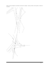
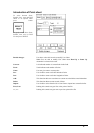
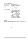
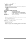
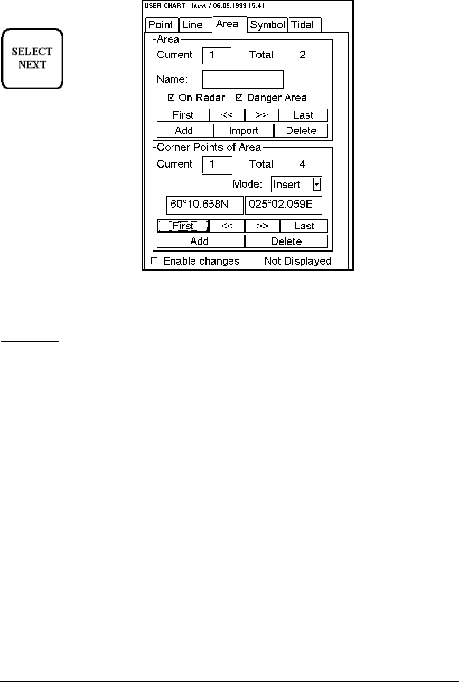
Introduction of Area Sheet
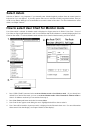
To select between Point, Symbol,
Line, Area or Tidal sheets to be
opened either press button
or go by cursor above Point,
Symbol, Line, Area or Tidal text
and press SELECT
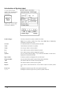
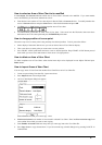
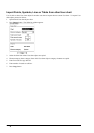
Enable changes:
User has to select this in order to modify User Chart.
Note! You are able to modify User Chart when North Up or Course Up orientation is selected to be used.
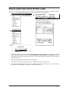
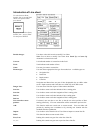
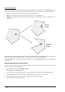
Area Object:
When user define an area for User Chart first he adds an area object and then gives a name and selects if it is
displayed on radar and/or if it is used for safe water calculation (Danger Area).
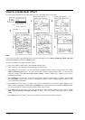
Current:
It is indicated number of current area in this field. User can select area by
editing desired number in edit box or create new one.
Total:
Total indicates total number of areas.
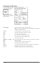
Name:
User can give name to current area.
On Radar:
User can select if the boundary line of the area is also displayed on ARPA radar
display.
Danger Area:
User can select if the area is part of Chart Alarm checks.