


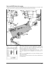
Raster Chart material · 175
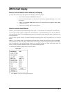
ARCS chart display
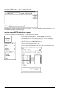
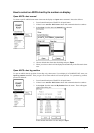
How to select ARCS chart material on display
To select ARCS format raster chart material onto the display proceed as follows:
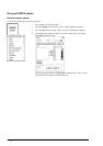
1. From Control Panel press Chart Plan pushbutton.
2. From menu check that there is a following text in first line: Activate S57 chart. If it is, then
go to step 4.
3. If there is text Activate ARCS chart choose this command and select Ignore or Sync Scale
from the sub menu.
4. You have now selected ARCS charts on display.
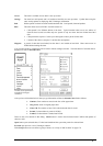
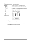
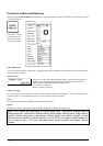
How to select used Datum
Datum is used to select between different models of the earth. It is essential that you use Datum in a consistent way.
If you use paper charts together with electronic chart material, it is recommended that you use the same Datum as
your current paper chart to avoid misalignment between your electronic system and points taken or plotted on your
current paper chart.
Once you have selected a datum, all numerical latitude-longitude position values are presented in your selected
datum.
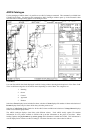
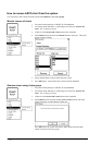
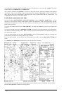
Note: If you use ARCS raster chart material the rasterized charts contain some rasterized position information.
These positions like scales in the edges of ARCS charts are true only if you have selected native datum of that ARCS
chart. Normally this is the natural situation, because you use ARCS together with equal official paper chart and
because you have selected as datum the datum of your equal official paper chart.
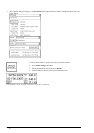
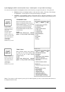
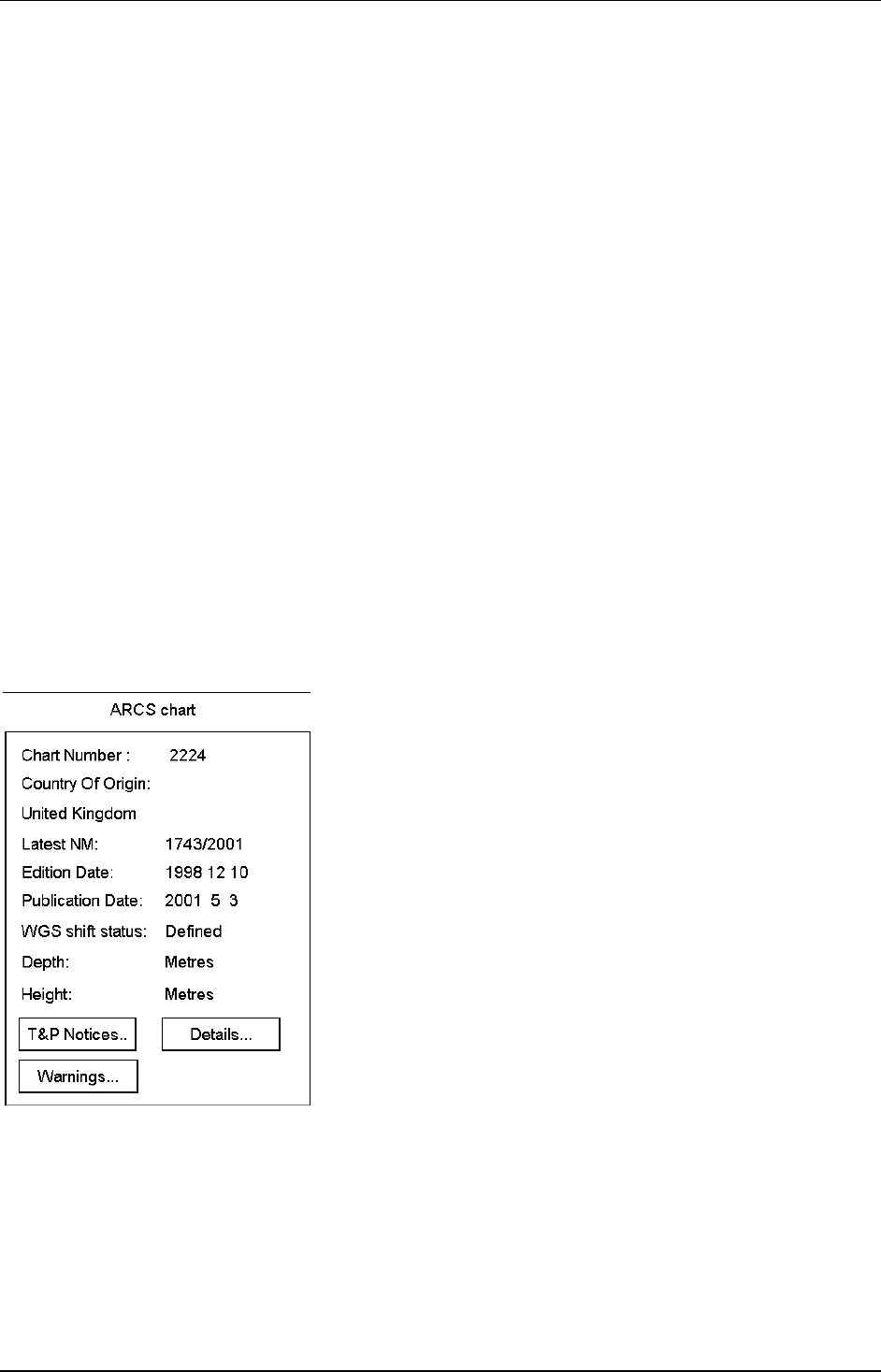
To find out native datum of ARCS chart, proceed as follows:
1. Press Details… button in Chart legend dialog box.