


Datum · 395
Datum
General
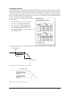
Datum is a mathematical model of the earth, based on which the sea chart has been made. Datum connects together
the positioning and the sea chart. If the Datum of position sensor and the sea chart are different, a transformation has
to be made somewhere in the system. Not doing so can result errors of several sea miles. Generally, it can be
assumed that the error is at least of the magnitude of a cable (0.1 NM). The difference between two Datums is never
constant, but depends on position. This means that the difference term of WGS 84 and local Datum, generally used
in paper charts, is not generally valid with electronic sea charts.
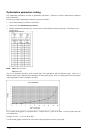
Paper charts
Datums used in paper charts has been traditionally national Datums for historical reasons. Many paper charts do not
have a marked Datum, compatibility with electronic charts may be complicated. In some paper charts, the correction
terms instead of Datum are printed, for correction of the WGS 84 system satellite locations. The correction terms
are usable but only with the paper chart in question.
Electronic sea charts
Until now, electronic sea charts have generally been based on rasterizing or vectorizing of paper charts, resulting in
the respective transfer of the local Datum.
Exceptions:
· The ARCS (raster) material includes polynomials for each chart, making it possible for the ECS system to solve
the difference between the WGS 84 Datum and the local Datum with an accuracy sufficient for authority
responsibility. In some charts, the mentioned difference is not known with sufficient accuracy, resulting in
displaying a permanent warning window when displayed in ARCS compatible systems.
· ENC vector material, which according to S57 standard has to be produced by National Hydrographic Office in
the WGS-84 Datum.
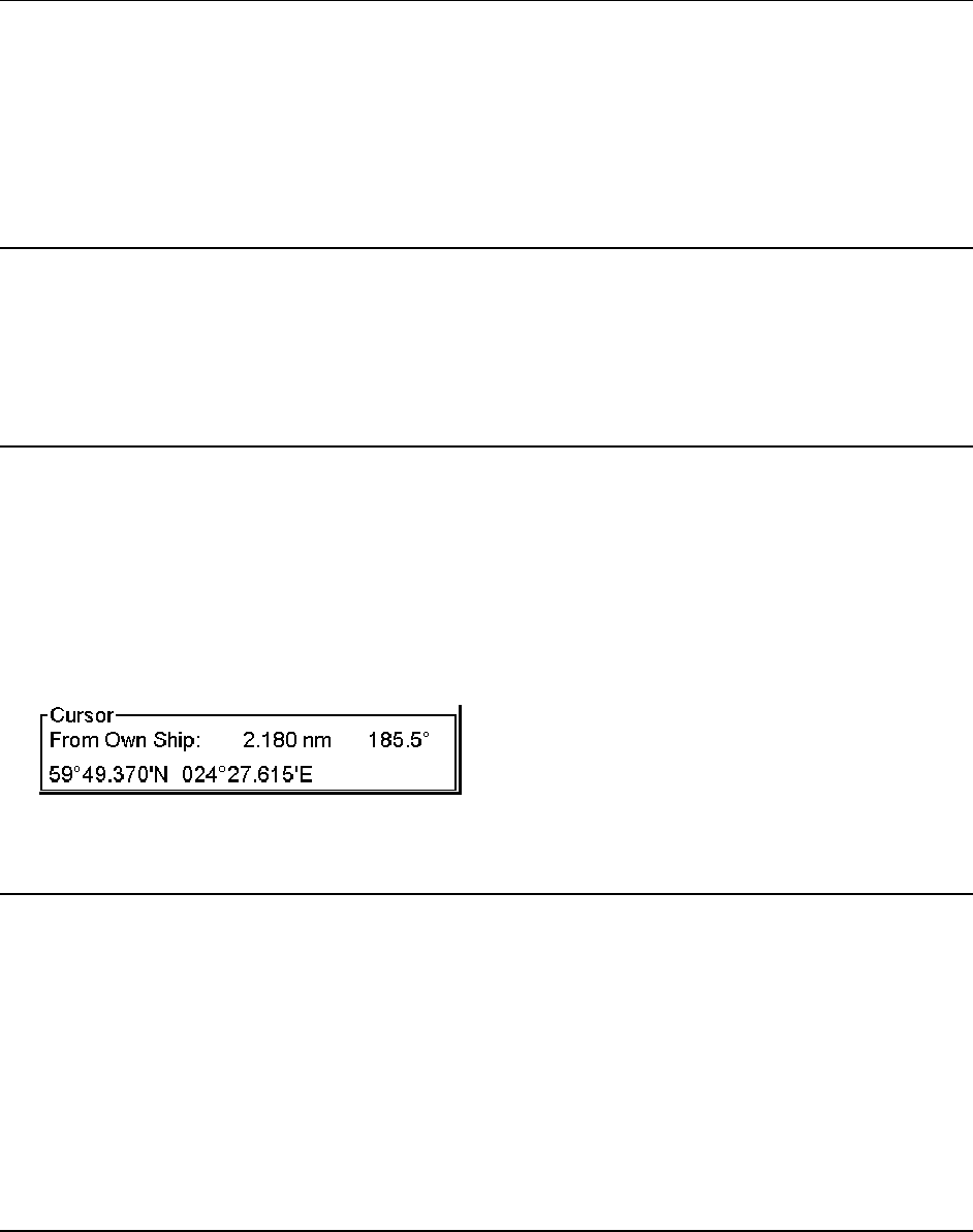
Positioning devices and Datum
In early days of the electronic positioning devices, no attention was generally paid to Datums because the commonly
used systems utilised special charts (like Decca charts). Later on, a data output was added to these systems, but still
no attention was paid to Datums and the errors were considered as inaccuracy of the system. The spread of the GPS
has made Datum better known. There is no value of an accurate position, if co-ordinates are in a wrong Datum.
GPS satellites in the scope utilise the WGS-84 Datum. However the WGS-84 Datum is not a general solution for all
positioning systems, due to differences between electronic sea chart system and the chart material displayed.